1. What is 3D Laser Scanning and what is it used for?
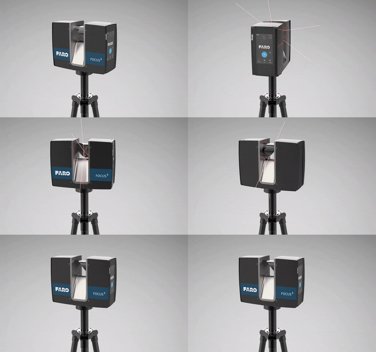
3D laser scanning is a method used to measure dimensions and geometry of existing structures with high accuracy. The instrument used to measure dimensions is called a 3D laser scanner. 3D laser scanning is used to replicate real life objects needed to deliver an as-is or an as-built survey for further engineering analysis.
2. What are the benefits of a 3D Laser Scanning survey?
When compared to conventional measurements methods, a 3D laser scan survey provides millions and sometimes trillions of surface measurements in 3D, making it a much more detailed survey. See more applications here
3. How much does a 3D Laser Scan survey cost?
Pricing a 3D laser scan survey depends on the area being scanned and the level of details needed. The larger the area, the more scans will be needed to cover it. It also depends on how many walls or obstructions are in the vicinity, the more obstructions, the longer the survey will take and the more it will cost. Another factor is whether or not colored scans are needed. Colored scans take longer to capture and cost more but provide better visuals.
4. What 3D Scanner should I use to scan the exterior and interior of a structure?
Almost all professional grade laser scanners can operate indoor and outdoor. One important factor to consider when selecting a 3d laser scanner is range. If you need to scan tall structure, determine the maximum height you will be dealing with then multiple it by 3 to help you decide on the scanning range. Another factor to consider is accuracy or ranging error. This is a number provided by the manufacture showing the + and – tolerances.
5. Is 3D Laser Scanning suitable for a topographic surveys?
Yes, the amount of data measurements collected by a 3D laser scanner makes it an ideal solution for a topographic survey as it logs the x,y,z values of every inch in the surrounding area. A survey control point will be needed to tie in the laser data to a datum.
6. What software is used in 3D Laser Scanning?
Depending on the type of scanner used, each manufacturer has their own software that is compatible with the laser data (pointcloud). Pointcloud registration software include Scene, Cyclone and Recap. Once the pointcloud data is registered, it can be imported into many different software tools depending on the project needs.
7. What is the cost of a 3D Laser Scanner?
Professional grade 3D laser scanners range between $25K to $90K depending on accuracy, manufacturer, and use case.
8. Can I create a BIM using a 3D Laser Scanner?
Yes, the process for creating a building information model (BIM) using our 3D laser scanner includes: scanning the building, registering the pointcloud data, converting the pointcloud data into an RCP/RCS format, then importing RCP/RCS into Revit for modeling. It is important to point out that the scanner in itself does not provide a ready to use BIM. Our team will use an an architectural modeler to create Revit families and add any relevant information to the model manually.
This concise FAQ effectively demystifies 3D laser scanning, offering valuable insights into its methodology, benefits, and practical applications. The clear and straightforward language makes complex technology accessible to a wide audience. By addressing common questions about cost, scanner selection, and software, you’ve provided a comprehensive overview of the process. The emphasis on accuracy and the sheer volume of data captured highlights the technology’s superiority over traditional methods, showcasing its potential for diverse applications, from as-built surveys to topographic mapping.
The inclusion of practical considerations, such as the impact of area size and obstructions on cost, demonstrates a transparent and client-focused approach. Moreover, the explanation of BIM creation, clarifying the role of both the scanner and architectural modeling, effectively manages client expectations. The breakdown of software and hardware costs further enhances the FAQ’s utility, providing a realistic understanding of the investment involved. By addressing these key aspects, you’ve created a valuable resource that educates and empowers potential clients, fostering trust and confidence in your 3D laser scanning services.