Nationwide Service | Houston Headquarters


Reality IMT Portfolio
Reality IMT Project Portfolio & Photo Gallery
Browse representative building, rail, roadway, GIS, laser scanning, as-built documentation, and mapping projects delivered by Reality IMT.
Photo Gallery by Project Type
Project Type: Buildings
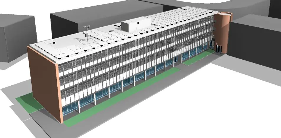
Rice University - Jones and Brown Colleges
Reality IMT documented multiple Rice University buildings exceeding 100,000 square feet. The resulting existing-condition drawings and model data supported architectural design and permit-document development for planned renovations.
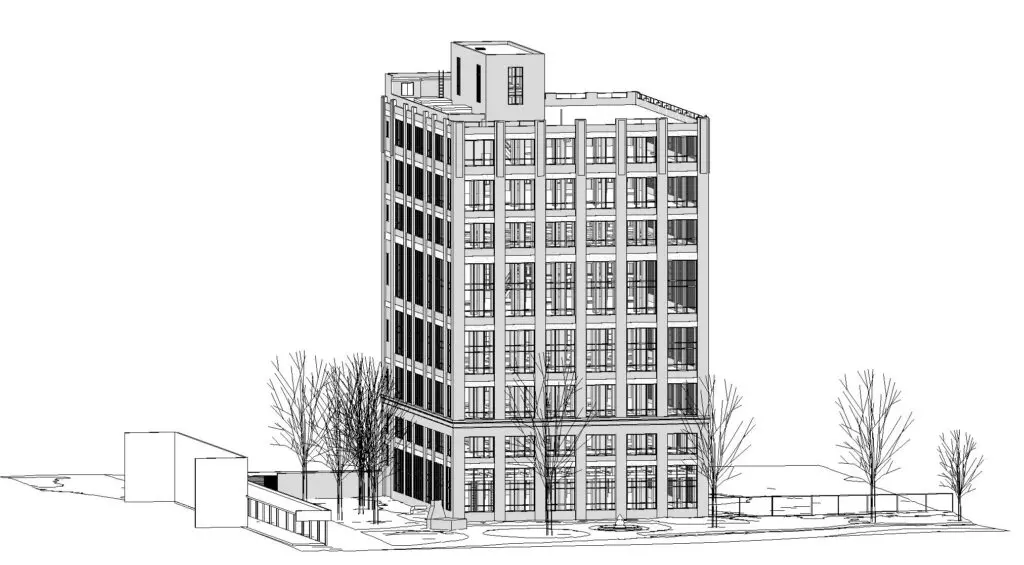
Imperial Sugar - Sugar Land, Texas
Reality IMT worked with Urbano Architects and the City of Sugar Land to document the historic Imperial Sugar complex. The project included multiple vacant industrial buildings being evaluated for adaptive reuse and redevelopment.
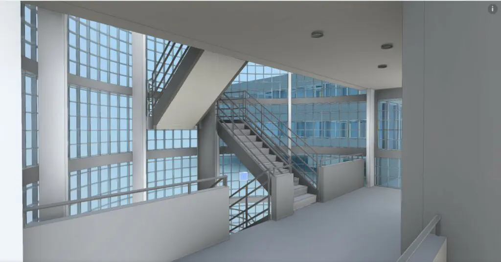
4500 Bissonnet - Houston, Texas
Reality IMT worked with the building owner and architect of record to document this office building of more than 70,000 square feet. Field capture was completed in one day, followed by delivery of an as-built Revit model and CAD documentation within six days.
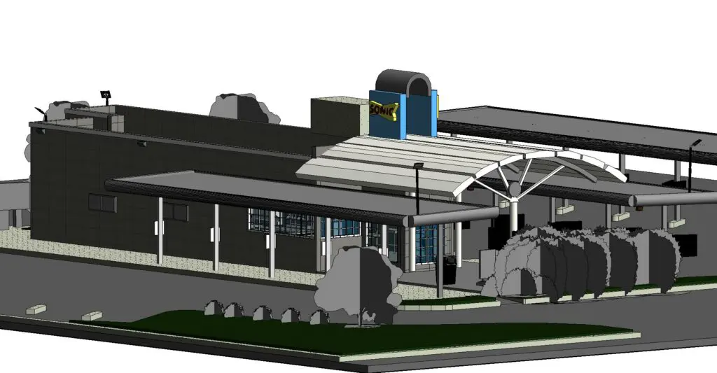
Multi-Site Restaurant 3D Laser Scanning & Scan-to-BIM - San Antonio, Texas
Reality IMT performed 3D laser scanning and existing-condition documentation for multiple restaurant locations throughout the San Antonio area. Accurate Building Information Models were developed to support planned renovations, upgrades, and ongoing facility documentation.
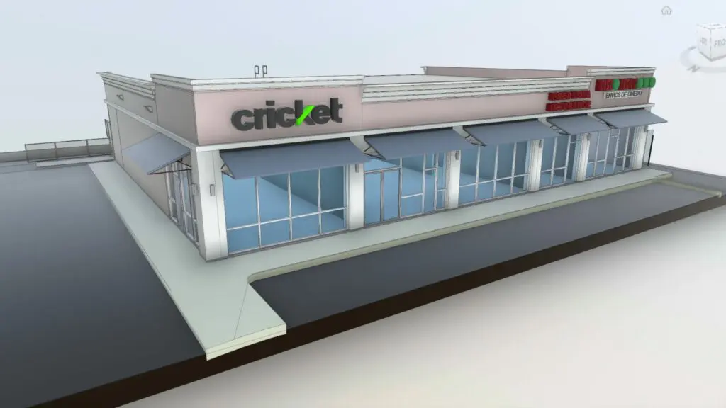
Commercial Retail Center - Austin, Texas
Reality IMT documented an approximately 25,000-square-foot retail center for the owner and commercial real estate team. Deliverables included accurate floor plans and area calculations for each tenant space.
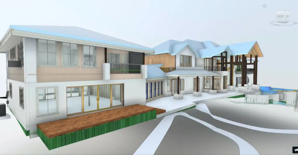
Residential As-Built Measurements - Dallas, Texas
Reality IMT Performed on-site 3d measurements for the interior and exterior of the 10,000 SF + house in the DFW area to support permitting, renovation and construction efforts.
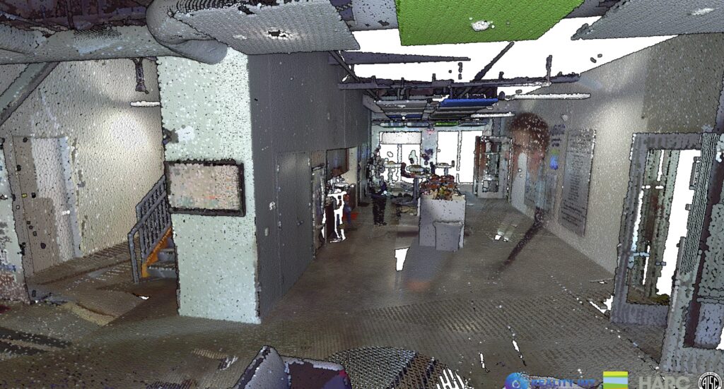
HARC Living Lab - The Woodlands, Texas
Reality IMT performed 3D laser scanning of the first level of the HARC Living Lab headquarters to capture accurate existing building conditions and support development of a detailed Revit model. The point cloud and BIM documentation provide a reliable digital record for future planning, coordination, facility management, and renovation.
/
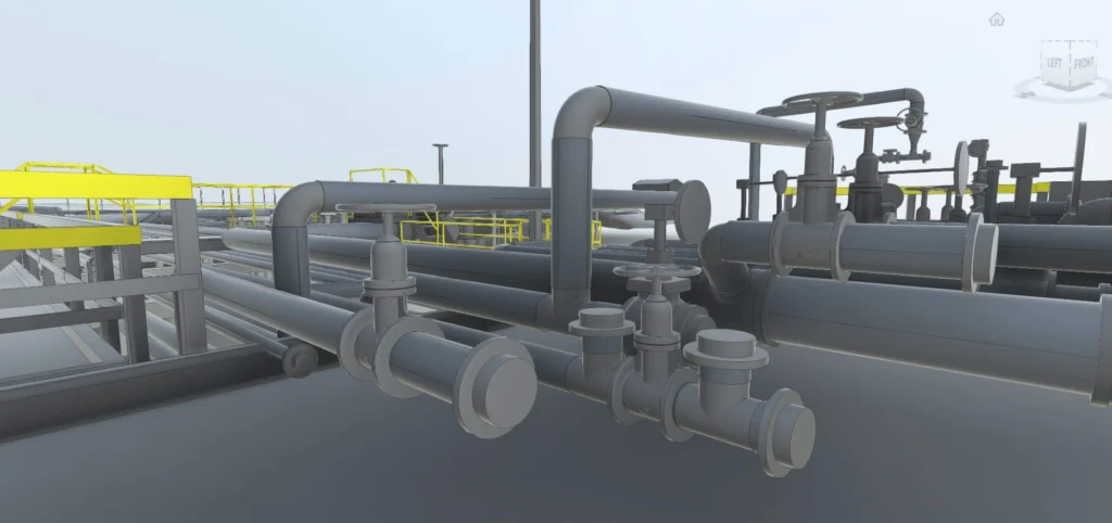
Industrial Facility Laser Scanning
High-density 3D laser scanning of industrial facilities, manufacturing areas, equipment rooms, piping systems, utility spaces, and complex existing conditions.
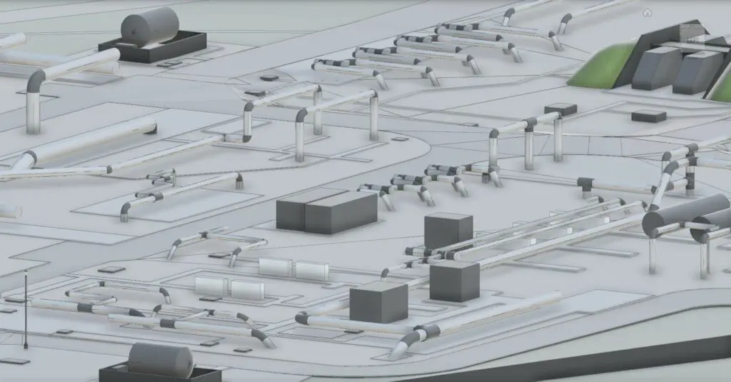
Industrial Point Cloud, CAD & BIM Deliverables
Registered point clouds, CAD drawings, and coordinated BIM models developed from field-verified scan data to support engineering, equipment upgrades, renovation planning, and facility management
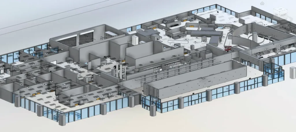
Industrial Existing- Condition Documentation
Comprehensive facility documentation combining laser scan data, existing-condition drawings, 3D models, visual references, and project files for engineering and stakeholder review.
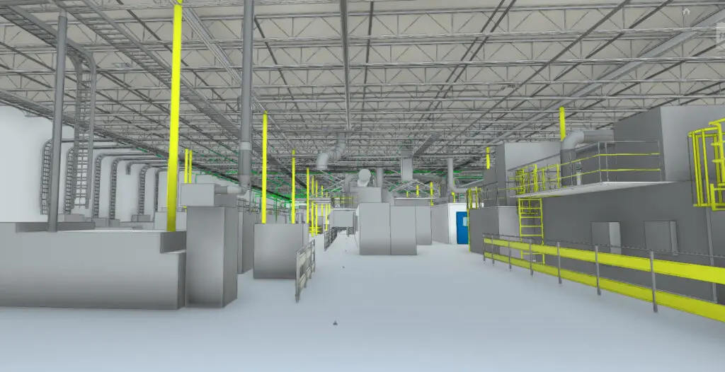
Industrial Manufacturing Facility Scanning and 3D Model
Reality IMT performed 3d laser scanning for this 300,000 SF industrial manufacturing facility and delivered a ready to use BIM model
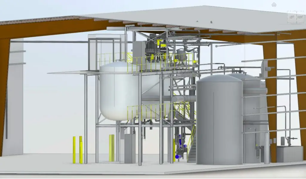
Industrial Reactor As-Built Scanning & 3D Modeling
Reality IMT performed 3D laser scanning of an existing industrial reactor and the surrounding structural and equipment areas. The resulting accurate as-built 3D model supported retrofit planning, equipment modifications, and coordination with the owner and equipment manufacturer.
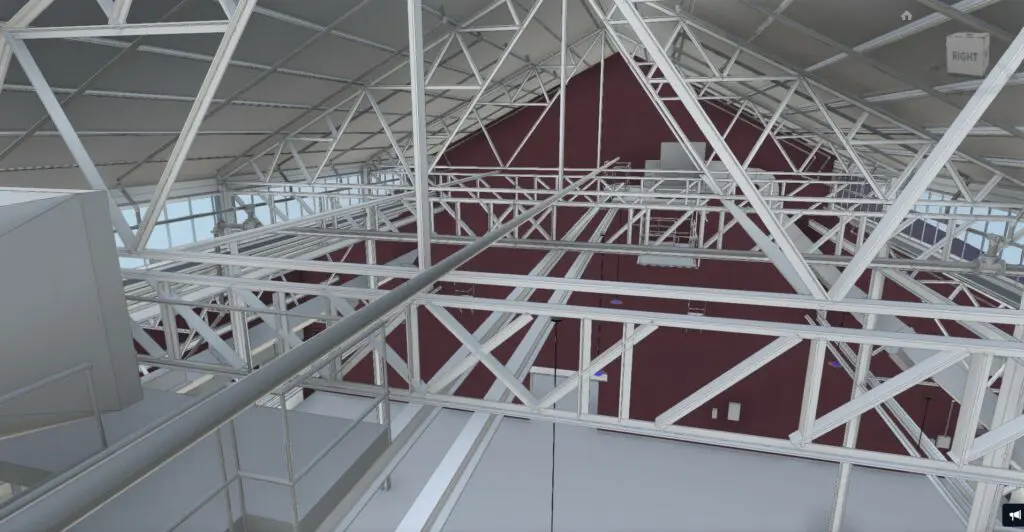
Industrial Warehouse Structural Scanning & Revit Modeling
Reality IMT performed 3D laser scanning and existing-condition documentation of structural framing throughout a 120,000-square-foot industrial warehouse. Accurate measurements and a coordinated 3D Revit model were developed to support structural engineering, equipment installation, and retrofit planning.
/
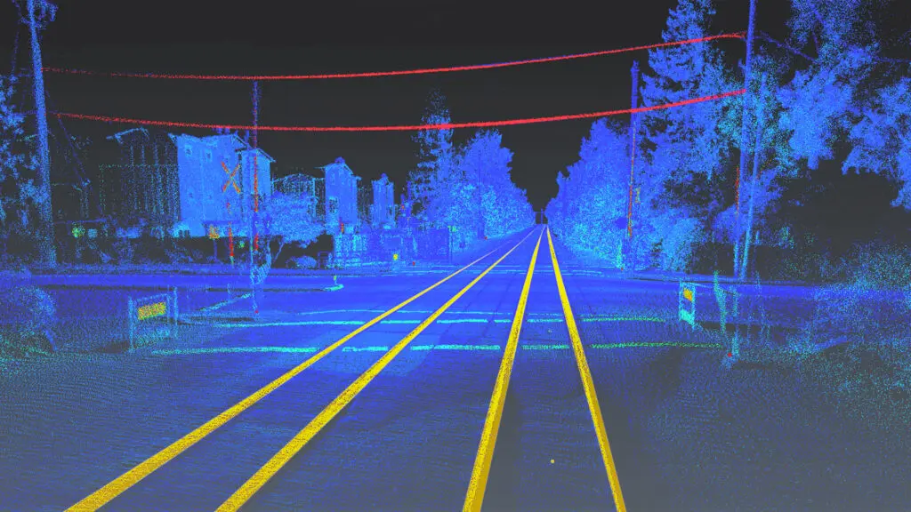
Hi-Rail LiDAR Corridor Mapping
Reality IMT performed hi-rail LiDAR data collection, point cloud processing, and feature classification to document existing railroad corridor conditions for engineering, asset management, and infrastructure planning.
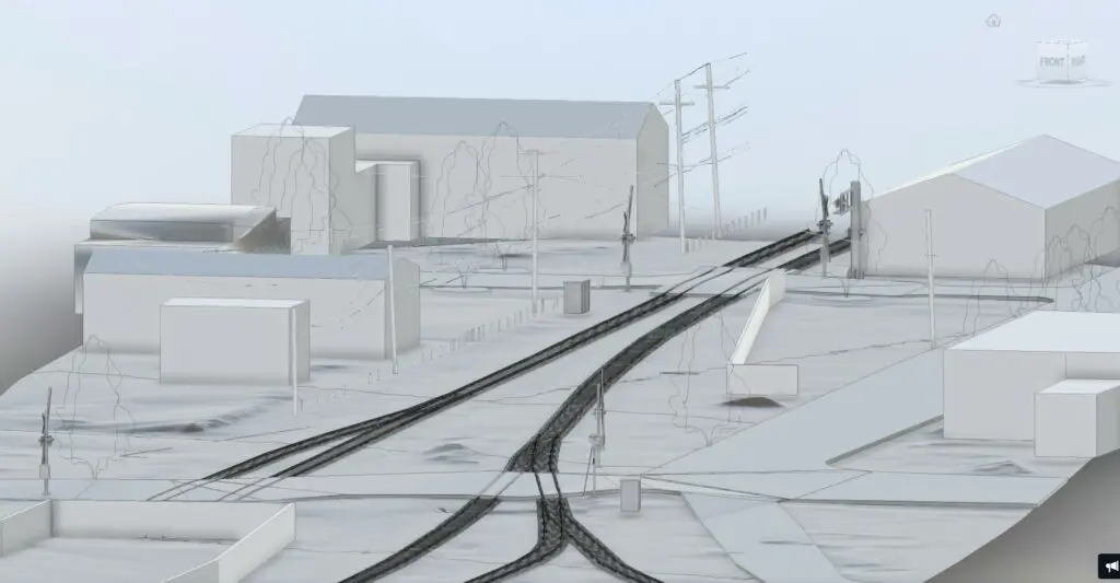
Rail Station and Corridor 3D Modeling
Reality IMT developed an existing-condition 3D model of rail stations, platforms, crossings, track areas, and surrounding infrastructure to support design coordination, planning, and visual documentation.
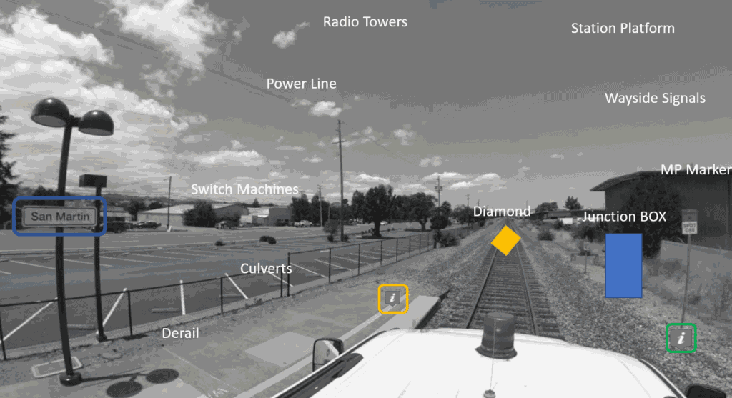
Railroad Asset Inventory and GIS Database
Reality IMT documented above-ground railroad assets along more than 500 miles of corridor, including signals, signs, utility features, crossings, mileposts, and trackside infrastructure. The collected information was organized into a geospatial asset database for maintenance, planning, and field reference.
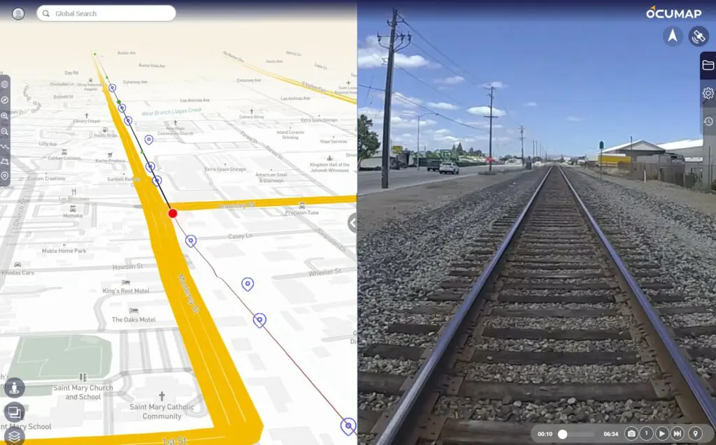
Rail Corridor Video Mapping and Web Viewer
Reality IMT collected georeferenced video along 50 miles of active rail corridor and delivered an interactive web-based viewer with mapped video, route navigation, and mile-marker references for remote review and field coordination.
/
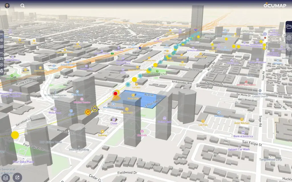
Roadway and Corridor Mobile LiDAR Mapping
Reality IMT performed mobile LiDAR and street-level imagery collection to document roadway conditions, signs, pavement, curbs, sidewalks, utility features, and right-of-way assets for engineering, planning, and infrastructure management.
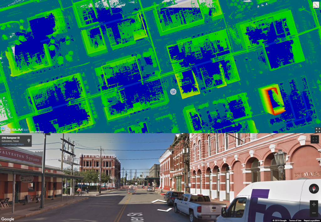
Downtown Mobile LiDAR and GIS Mapping — Galveston, Texas
Reality IMT documented downtown Galveston using mobile LiDAR and street-level imagery. The project delivered GIS-ready roadway and streetscape data to support urban planning, infrastructure documentation, engineering, and asset management.
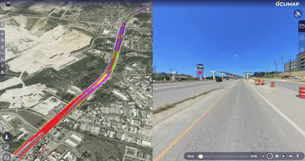
Street Asset Inventory and GIS Mapping — San Antonio, Texas
Reality IMT collected street-level imagery and documented above-ground infrastructure assets along approximately 200 miles of roadway in San Antonio. The resulting geospatial asset inventory supported municipal planning, maintenance, and field reference.
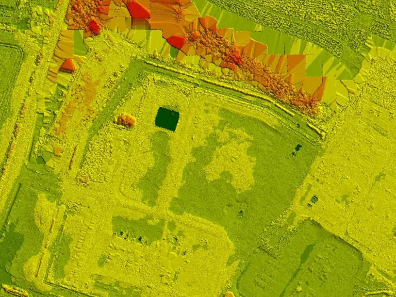
Wide-Area LiDAR Mapping for Flood Analysis
Reality IMT performed wide-area LiDAR mapping and developed a digital elevation model to support drainage evaluation, flood analysis, terrain assessment, and infrastructure planning.
/
Featured Projects

BOMA Area Calculations Services for a Two-Building Retail Center
Reality IMT documented Buildings 3 and 4 at 410 W Whitestone Boulevard in Cedar Park,…
- Two-Building Multi-Tenant Retail Center
- Building Documentation & Measurements
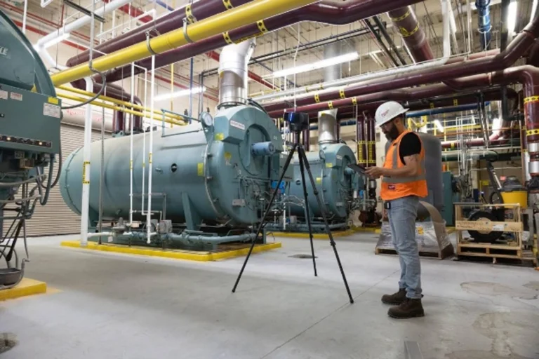
Industrial 3D Laser Scanning Austin | Mechanical Systems Case Study
Reality IMT performed targeted, high-resolution 3D laser scanning of critical mechanical infrastructure at an active…
- Industrial
- Industrial 3D Laser Scanning
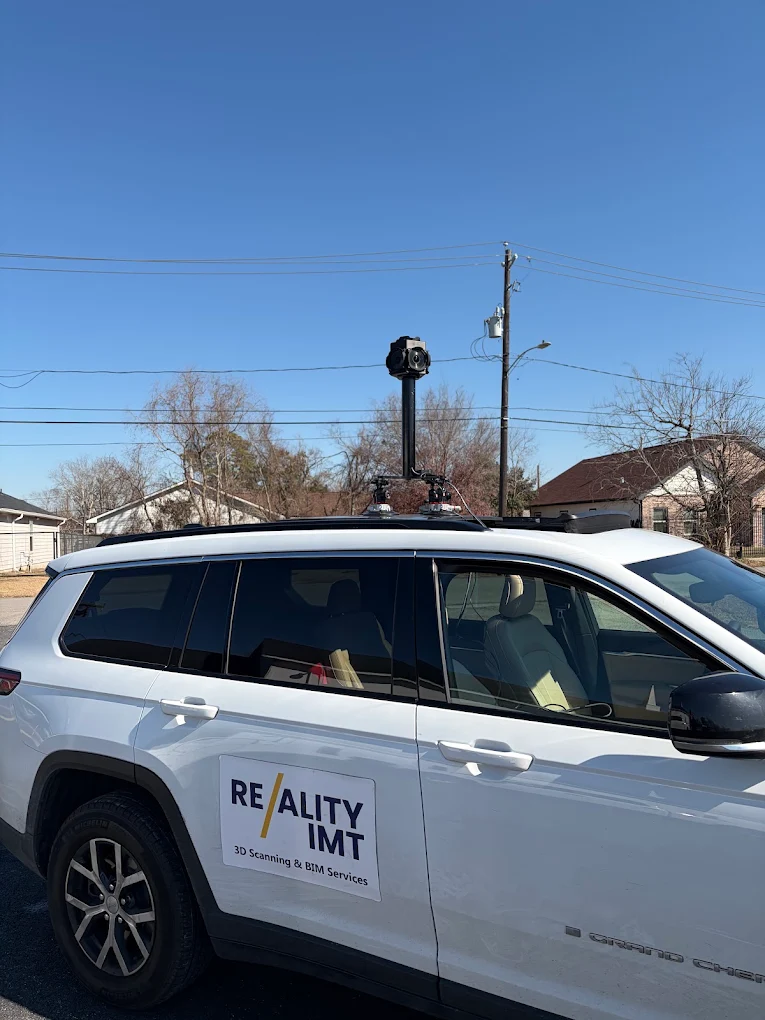
Mobile LiDAR Corridor Survey with Engineering-Ready Civil 3D Deliverables
Reality IMT completed a 1.4-mile mobile LiDAR corridor survey covering 19 signalized intersections and delivered…
- Urban Roadway Corridor
- Geospatial Corridor Mapping
- Infrastructure & Corridor Mapping
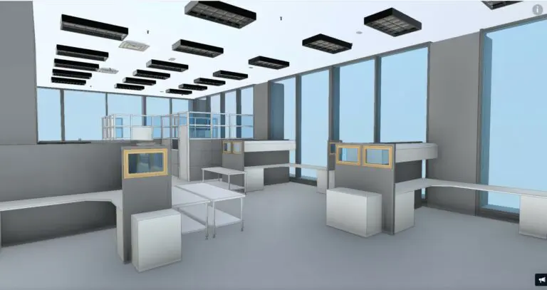
Occupied Austin Office Building Documented Within One Week
Reality IMT was engaged to document an existing three-story office building in Austin, Texas, during…
- Office Building
- 3D Laser Scanning
- Building Documentation & Measurements
- Scan to BIM / Revit Modeling
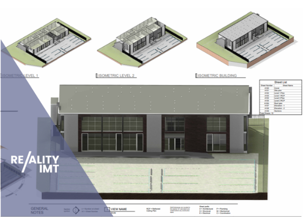
Office Building Measurement & Leasing Documentation
Constructed in the early 1970s, this office building was recently acquired by a new owner…
- Office Building
- 3D Laser Scanning
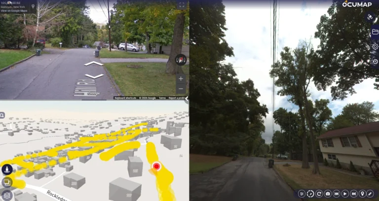
Utility-Pole and Distribution-Asset Mapping at Network Scale
Reality IMT supported a large utility asset-documentation program using mobile and ATV-based imagery, RTK positioning,…
- Poles and Distribution Infrastructure
- Geospatial Corridor Mapping
- Infrastructure & Corridor Mapping
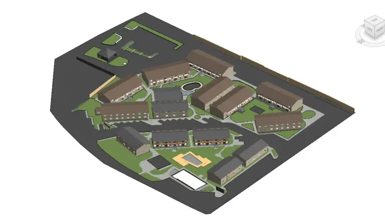
700-Unit Multifamily Building Documentation Completed in 30 Days
Reality IMT documented five multifamily communities totaling approximately 620,000 square feet and more than 700…
- Multifamily Housing
- 3D Laser Scanning
- As-Built Drawings & CAD
- Building Documentation & Measurements
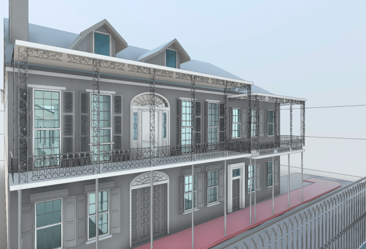
Historic Building Laser Scanning in New Orleans
The Vieux Carré Historic District in New Orleans, LA is a unique place due it’s…
- Historic Commercial Building
- 3D Laser Scanning
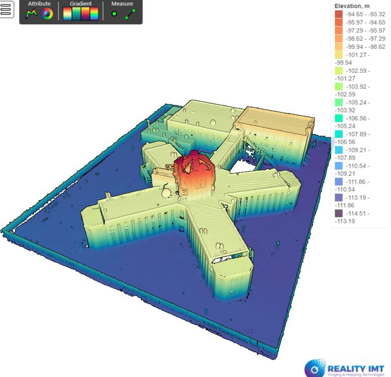
Central Unit 3D Laser Scanning for Adaptive Reuse
The Texas Historical Commission estimates that construction finished by 1932. The building was abandoned in…
- Historic Prison / Government Building
- 3D Laser Scanning
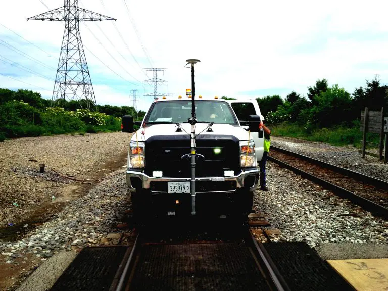
40-Mile Commuter-Rail Corridor Documented with LiDAR and 360 Imagery
Reality IMT supported a commuter-rail documentation program covering approximately 40 miles of active right-of-way. The…
- Commuter-Rail Right-of-Way
- Rail Mapping
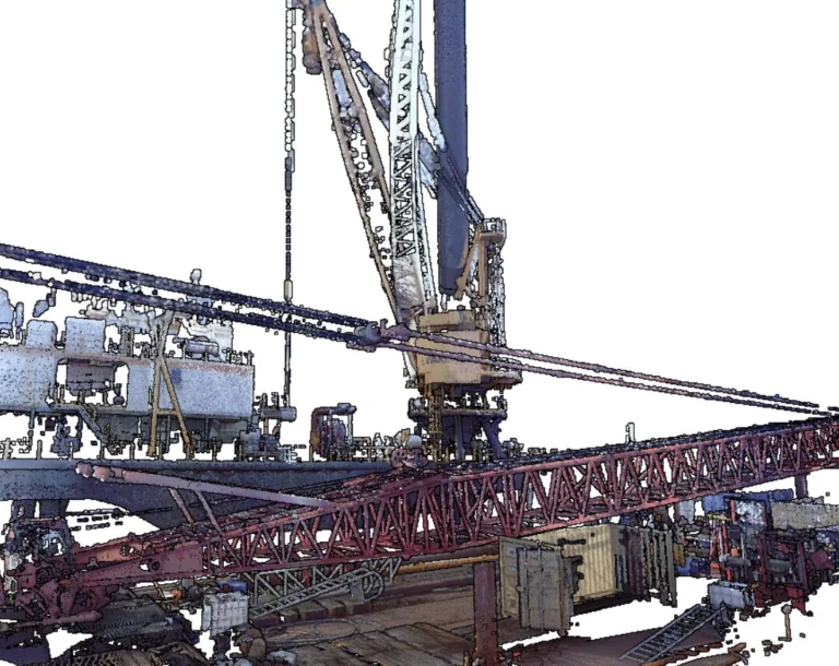
Drilling Rig 3D Laser Scan
When digitizing a drilling rig with 3D laser scan, a point cloud is generated as…
- Offshore Drilling Rig
- Industrial 3D Laser Scanning
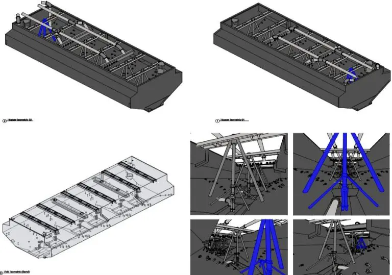
Hopper Volumetric Survey
Performing a hopper volumetric survey to understand it’s capacity is not only crucial for project…
- Sand Dredger / Marine Vessel
- Industrial 3D Laser Scanning

Industrial As-Built Survey for an Operating Marine Terminal
While a conventional as-built surveys may provide hundreds of data points for engineering maintenance, a…
- Ship Dock and Oil-Products Terminal
- Industrial 3D Laser Scanning
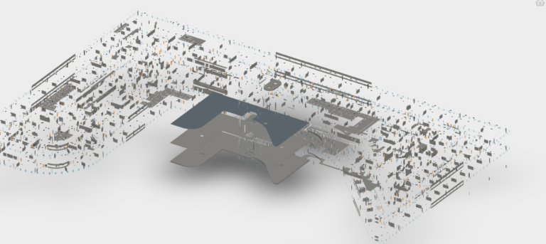
Master Lease Plan — As-Built Survey
Getting an accurate floor plan for an existing office building that was built in the…
- Multi-Level Office Building (1980s)
- 3D Laser Scanning
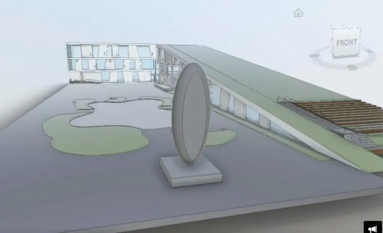
Glassell School of Art, Houston
A Hub for Artistic Innovation: The Glassell School of Art, a cornerstone of the Museum of Fine Arts,…
- Educational / Cultural Institution
- 3D Laser Scanning
Have a similar project?
Send us the project type, location, approximate size or length, and required deliverables.