Nationwide Service | Houston Headquarters

Reality IMT Resources
Reality Capture, Laser Scanning & Mapping Guides
Practical technical guidance for architects, engineers, owners, facility managers, industrial teams, and infrastructure professionals planning existing-condition documentation projects.
Browse the Library
Guides by Topic
Explore technical guides covering building documentation, 3D laser scanning, industrial facilities, rail corridors, georeferenced imagery, and utility asset mapping.
Building Documentation, Commercial Real Estate8–10 Minutes
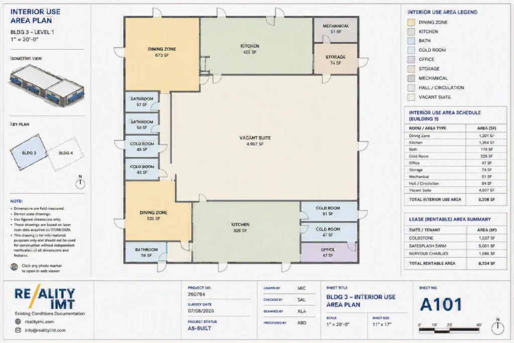
BOMA Area Measurement Guide for Commercial Properties
This guide explains how BOMA area measurement projects are scoped, field-verified, calculated, documented, and used for leasing, due diligence, property records, tenant improvements, and portfolio management.
3D Laser Scanning8 min read
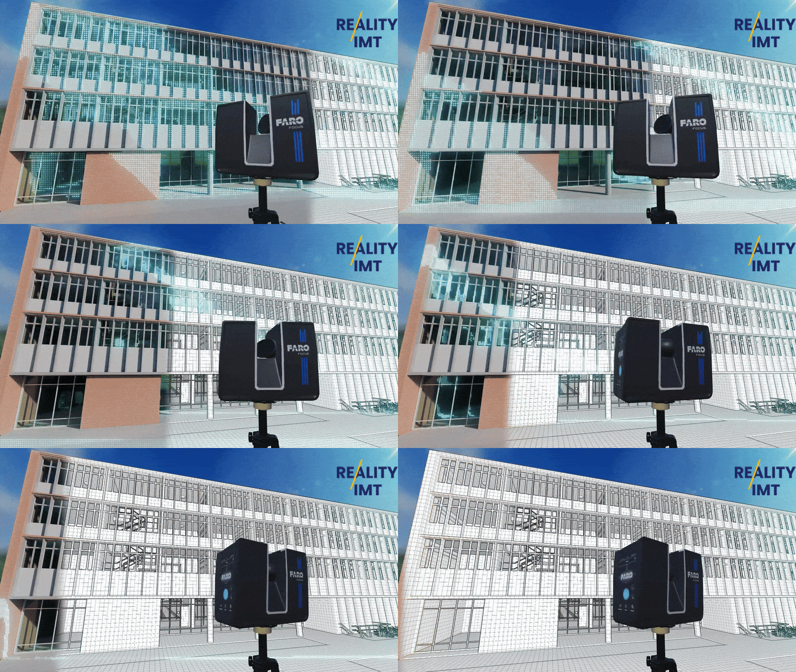
The Fundamentals of Reality Capture and 3D Laser Scanning
A practical guide to how modern field-capture technologies create measurable digital records of buildings, facilities, and infrastructure.
Geospatial Mapping, Utility Mapping8 min read
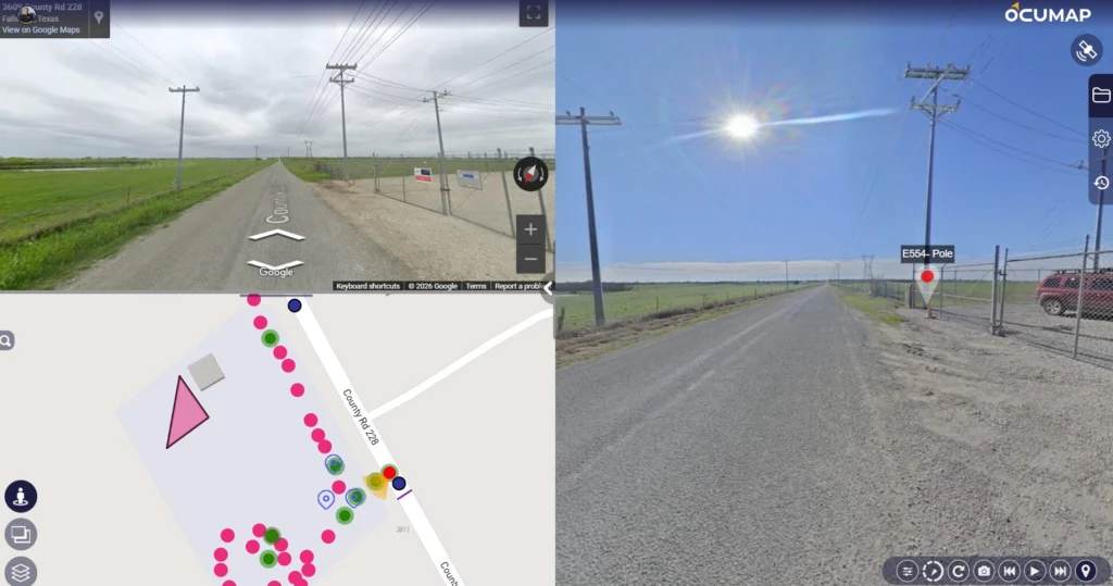
Street-Level Imagery for Electric Utility Asset Management
This buyer guide explains how electric utilities can plan and procure street-level imagery programs for asset inspection, GIS integration, route documentation, and long-term asset management. It covers camera selection, positioning accuracy, field operations, data processing, QA/QC, and RFP requirements.
Rail & Infrastructure8 min read
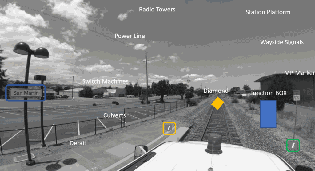
Rail Corridor Mapping Guide: LiDAR, Imagery and Survey Control
This technical guide explains how mobile LiDAR, 360 imagery, GNSS/INS positioning, survey control and engineering production workflows support rail corridor planning, track surveys, asset documentation and design. It also outlines common deliverables and the questions owners and consultants should resolve before issuing a rail mapping scope.
Industrial8 min read
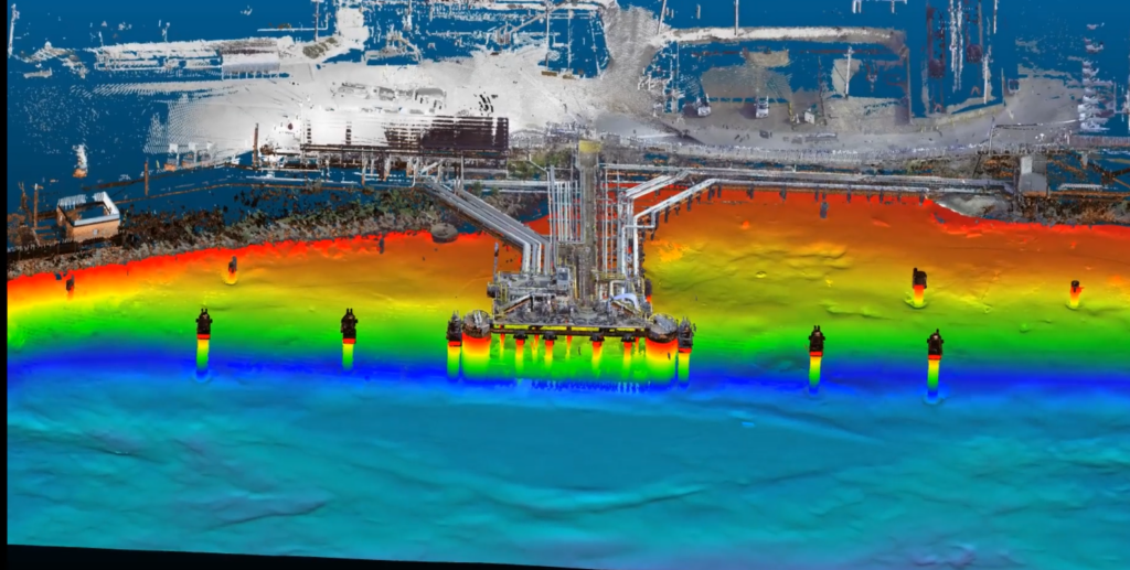
Industrial Laser Scanning Guide: Planning, Capture and Modeling
This guide explains how industrial laser scanning projects should be scoped, planned, captured, registered, quality checked, and converted into usable point clouds, CAD drawings, Revit models, and plant documentation. It also addresses site safety, access planning, survey control, operating constraints, deliverable definition, and client review.
Geospatial Mapping8 min read
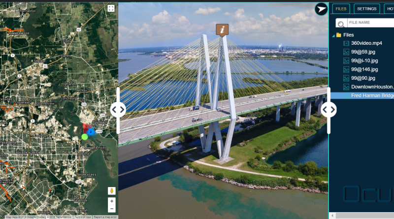
Georeferenced Video vs. Photogrammetry: Choosing the Right Method
Georeferenced video and photogrammetry can both support infrastructure documentation, but they solve different problems and should be selected based on required accuracy, outputs, users, and decision-making needs.
Browse the Library
What Are You Trying to Document?
Explore technical guides covering building documentation, 3D laser scanning, industrial facilities, rail corridors, georeferenced imagery, and utility asset mapping.
1
Existing Buildings
Floor plans, existing-condition documentation, area verification, and renovation records.
2
Industrial Facilities
Equipment replacement, piping changes, shutdown planning, and plant as-builts.
3
Rail Corridors
LiDAR, 360 imagery, track-survey support, and right-of-way documentation.
4
Streets & Utilities
Street-level imagery, corridor mapping, asset tagging, and GIS-oriented documentation.
5
Portfolio Programs
Multisite building portfolios, repeated facility types, and standardized deliverables.
6
Renovation & Design
Point clouds, Revit models, CAD drawings, and existing-condition documentation for design teams.
More Reality IMT Resources
Continue Exploring
Case Studies & Portfolio
See how Reality IMT has applied these methods on actual building, industrial, rail, utility, and municipal projects.
View Projects
Industry Insights
Read project-planning, technology, and application articles for specific industries and client types.
View Insights
Sample Deliverables
Review representative floor plans, Revit views, point clouds, models, maps, and visual documentation.
View Samples
Planning an Existing-Condition Documentation Project?
Tell us what needs to be documented, how the information will be used, and the required deliverables.