Nationwide Service | Houston Headquarters


RAILWAY & RAIL CORRIDOR MAPPING
Rail Mapping Services for Railway Asset Inventory, LiDAR Data and Corridor Documentation
Reality IMT provides nationwide rail mapping services using Hi-Rail LiDAR, GPS/INS positioning, 360 imagery, GIS asset extraction, point cloud processing, CAD documentation, and track geometry data.
What Rail Mapping Services Include
We support railway operators, transit agencies, engineering firms, and infrastructure owners throughout the United States. Rail mapping combines mobile LiDAR, positioning, imagery, and geospatial processing to create a measurable digital record of railway corridors and assets.
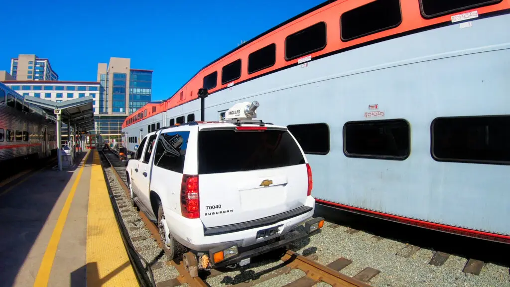
Hi-Rail LiDAR & Corridor Capture
Collect dense point clouds, GPS/INS positioning, 360 imagery, and corridor data at operational travel speeds where permitted.

Asset Inventory & Geospatial Processing
Extract track assets, signals, crossings, visible utilities, drainage, vegetation, and corridor features into GIS-ready datasets.
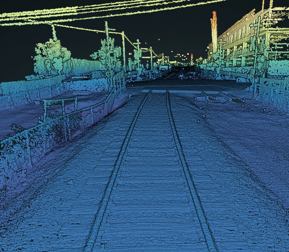
Engineering-Ready Corridor Documentation
Prepare point clouds, CAD drawings, GIS databases, reports, track geometry data, and visual references.
Who Uses Rail Mapping Services?
Rail Operators
Asset inventories, inspections, maintenance planning, and corridor management.
Transportation Agencies
Capital programs, corridor documentation, and infrastructure planning.
Engineering & Construction Firms
Design, analysis, coordination, and modernization support.
Infrastructure Owners & Planners
Upgrades, maintenance, and long-term asset management.
Common Rail Mapping Use Cases
Rail Asset Inventory
Structured inventories of track assets, signals, crossings, utilities, drainage, vegetation, and corridor features.
Existing-Condition Verification
Railway corridor documentation for engineering studies, maintenance, and modernization.
GIS & Engineering Support
Geospatial datasets for GIS, CAD, Civil 3D, engineering, and asset-management workflows.
Rail Mapping Deliverables
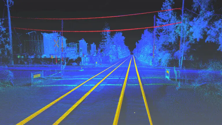
Point Clouds & Track Geometry Data
Registered LiDAR point clouds and corridor geometry data for measurement and engineering use.
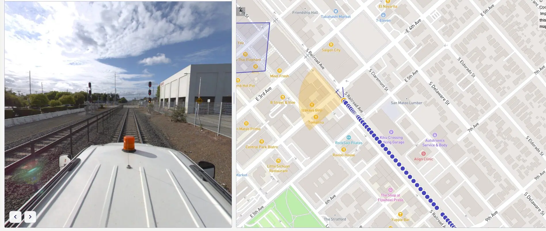
GIS Asset Inventory
GIS-ready datasets containing railway assets, poles, signs, signals, crossings, and corridor features.
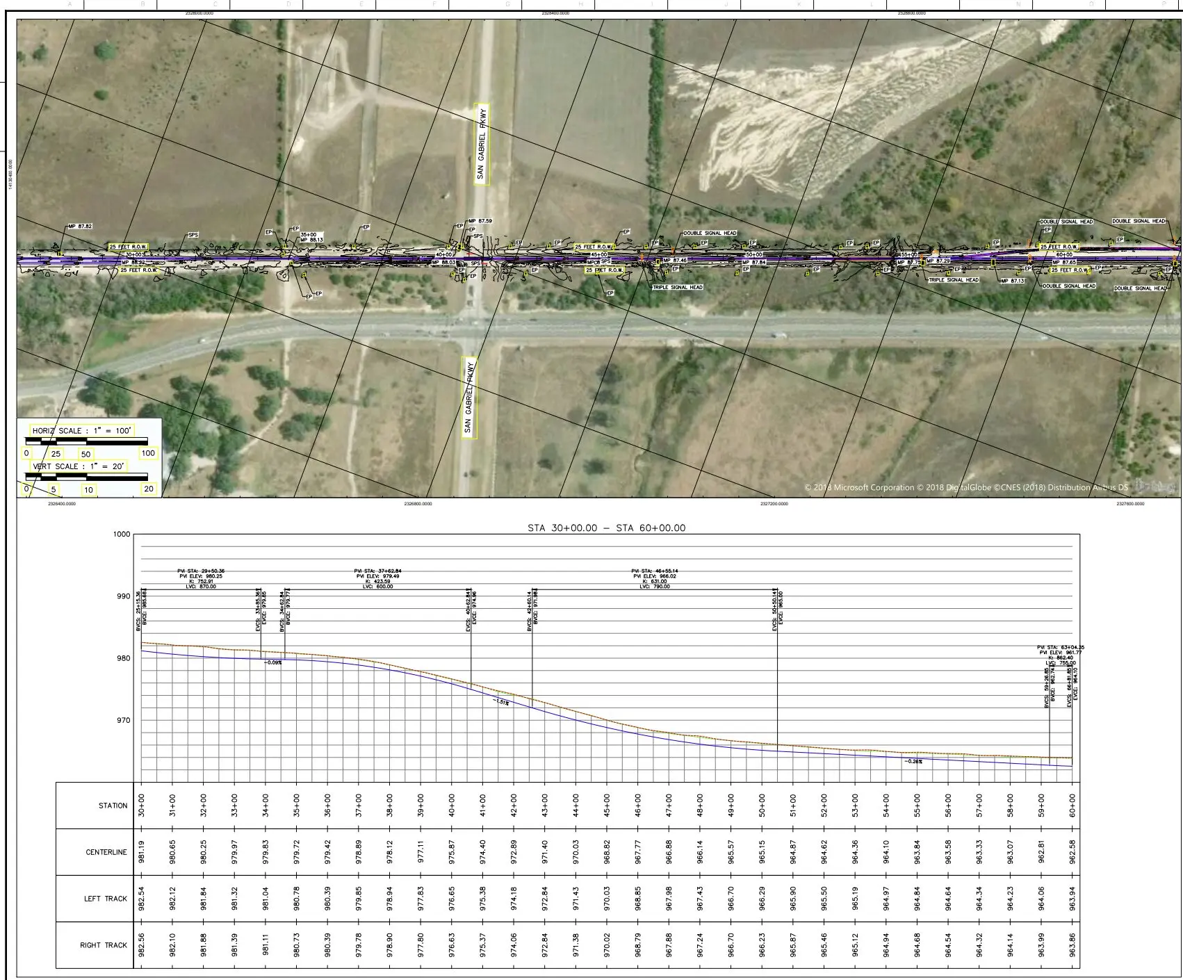
CAD, Reports & Corridor Documentation
CAD/DWG drawings, reports, asset inventories, 360 references, and project summaries.
Rail Mapping and Corridor Documentation in Action
See how mobile LiDAR and georeferenced imagery support railway asset inventory and infrastructure review.
Our Rail Mapping Process
1
Scope
Define corridor limits, mileage, assets, access, accuracy, and formats.
2
Capture & Process
Collect and process Hi-Rail LiDAR, GPS/INS, and imagery datasets.
3
Deliver
Provide GIS, CAD, point clouds, imagery, reports, and asset inventories.
Rail Mapping FAQs
What are rail mapping services?
Rail mapping services create a measurable digital record of railway corridors, tracks, right-of-way features, and visible infrastructure. Reality IMT combines Hi-Rail LiDAR, GPS/INS positioning, 360 imagery, photogrammetry, and geospatial processing to document existing corridor conditions.
What information can be collected during a rail mapping project?
Depending on the project scope, rail mapping may document track locations, signals, signs, crossings, poles, visible utilities, drainage features, vegetation, mile markers, structures, platforms, and other above-ground corridor assets. Required asset classes should be defined before data collection begins.
How is Hi-Rail LiDAR data collected?
LiDAR sensors, positioning equipment, and cameras are mounted to a Hi-Rail vehicle or another approved mobile platform. Data is collected while traveling through the corridor at speeds permitted by the railroad, access plan, equipment configuration, and required accuracy.
Can rail mapping be performed on active railway corridors?
Yes, subject to railroad authorization, track access, operating rules, required escorts, safety procedures, and scheduling. Reality IMT coordinates the technical data-capture requirements with the client and designated rail personnel.
What deliverables are available?
Deliverables may include registered LiDAR point clouds, GIS asset inventories, georeferenced imagery, 360 video logs, CAD or Civil 3D files, corridor geometry, asset reports, digital elevation data, and project-specific documentation.
What file formats can be provided?
Available formats may include E57, LAS or LAZ point clouds; DWG or Civil 3D files; Esri geodatabases or shapefiles; CSV asset tables; image and video files; and other project-specific formats. Final formats are confirmed during project scoping.
How accurate is rail mapping data?
Accuracy depends on the sensor configuration, collection speed, satellite visibility, control network, corridor conditions, processing method, and required deliverables. Accuracy requirements should be established before field collection so the appropriate methodology can be selected.
Does rail mapping include track geometry measurements?
Measurable track and corridor geometry can be extracted from LiDAR data when included in the project scope. Formal track-geometry inspection, regulatory compliance testing, or certification should be identified separately because these services may require specialized equipment, procedures, and qualifications.
Can Reality IMT create a rail asset inventory or GIS database?
Yes. Visible corridor assets can be identified, classified, and organized into a GIS-ready database with locations, asset types, imagery references, and other agreed attributes. The level of attribution depends on the project requirements and source data.
Can 360 video be linked to maps or mile markers?
Yes. Reality IMT can provide georeferenced rail video and 360 imagery connected to route maps, GPS locations, mile markers, or corridor segments through a web-based viewer or project-specific delivery platform.
How long does a rail mapping project take?
The schedule depends on corridor mileage, access windows, operating restrictions, collection speed, asset-extraction requirements, accuracy, deliverable formats, and review requirements. Reality IMT establishes the field and processing schedule after the corridor and deliverables are defined.
What information is needed to prepare a rail mapping proposal?
Provide the corridor location, approximate mileage, track access conditions, required assets, accuracy expectations, desired file formats, available control information, schedule, and intended use of the data. This allows Reality IMT to recommend the appropriate capture and processing approach.
Proven Rail Mapping Projects
These Rail Mapping projects showcase how Reality IMT delivers accurate railway corridor documentation using high-accuracy LiDAR, mobile mapping, and geospatial data collection. From freight rail networks and passenger rail systems to industrial rail facilities and transit corridors, our projects provide precise asset inventories, LiDAR data, corridor mapping, and existing-condition documentation that support railway engineering, maintenance planning, GIS integration, safety improvements, and long-term infrastructure management.
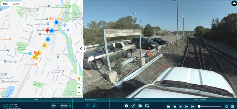
9 Mar 2017
Rail Right-of-Way Imaging for Fiber and PTC Planning
Reality IMT supported a rail-construction team planning fiber-optic installation and Positive Train Control work across…
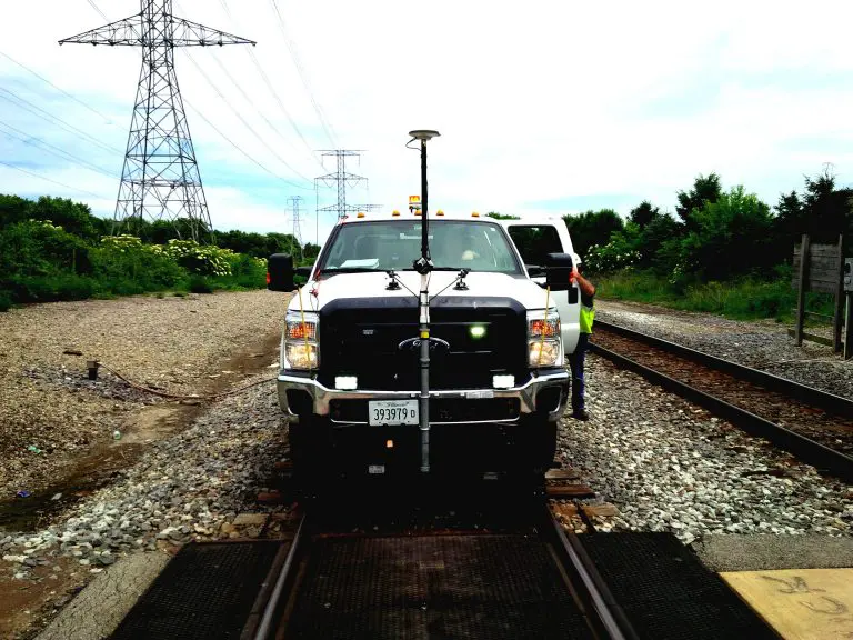
22 Apr 2020
40-Mile Commuter-Rail Corridor Documented with LiDAR and 360 Imagery
Reality IMT supported a commuter-rail documentation program covering approximately 40 miles of active right-of-way. The…
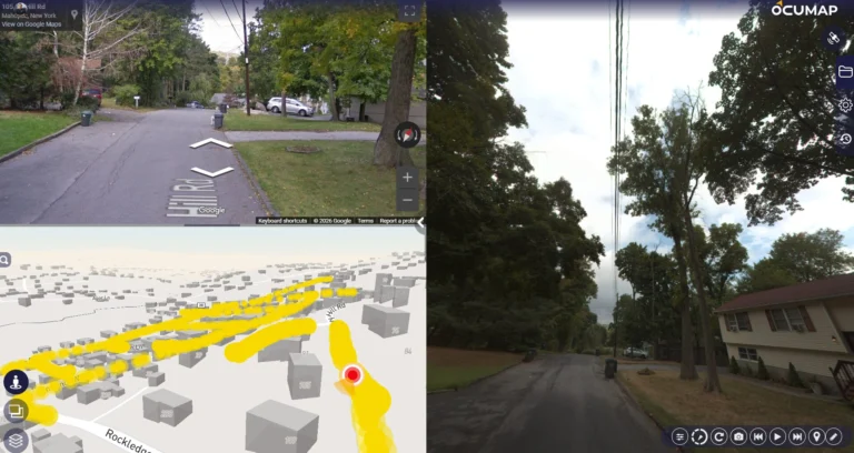
11 Sep 2024
Utility-Pole and Distribution-Asset Mapping at Network Scale
Reality IMT supported a large utility asset-documentation program using mobile and ATV-based imagery, RTK positioning,…
Need Rail Mapping Data for Your Railway Project?
Send the corridor location, mileage, required assets, formats, access requirements, and project goals.