Nationwide Service | Houston Headquarters

Utilities · Geospatial Mapping · Asset Documentation

Utility-Pole and Distribution-Asset Mapping at Network Scale

Reality IMT combined mobile and ATV imagery, RTK positioning, cloud-based review, and GIS-ready asset tagging to support a large-scale utility pole and distribution asset mapping program.

Network
Large Multi-Year Utility Program
Capture
Mobile & ATV Imagery
Positioning
RTK GPS
Outputs
Mapped Assets & GIS-Ready Data

Project Overview

Project Summary

Reality IMT supported a large utility asset-documentation program using mobile and ATV-based imagery, RTK positioning, cloud review, and GIS-oriented tagging workflows. The archived project material describes a network-scale effort spanning approximately 30,000 circuit miles, with roughly 80% of the program completed at the time of publication.

The published version should retain those figures as approximate project statements and keep the utility client anonymous unless written permission is available.

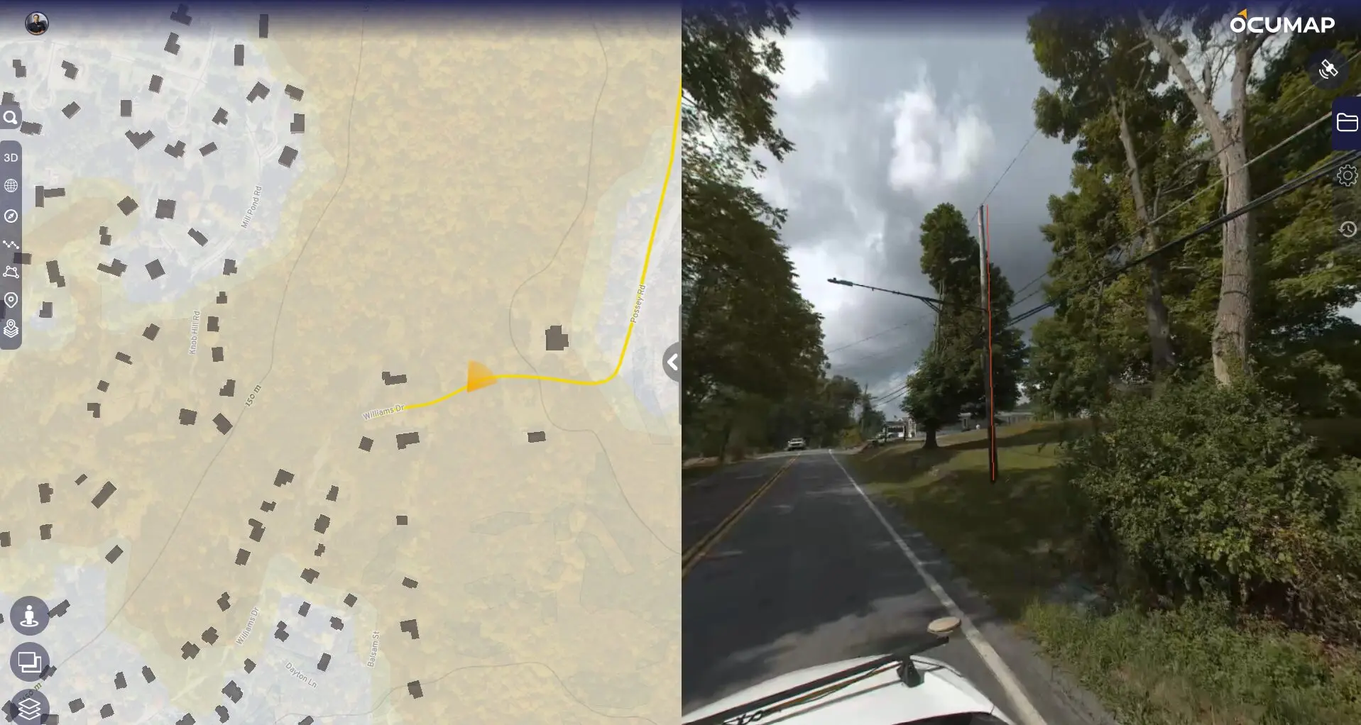
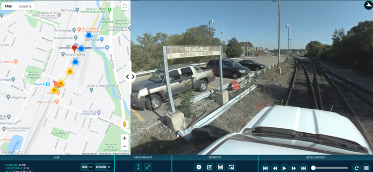
Street Level Photo data collection for utility mapping

Client Need

Project Challenge

A network-scale utility program must document distributed assets consistently across roads, easements, and off-road segments while maintaining usable location information.

Large Service Territory

The program covered a broad network rather than a single site or corridor.

Mixed Access Conditions

Some assets required road-based capture while others required off-road or ATV access.

GIS Integration

Collected information needed to support asset review and downstream GIS workflows.

Project Details

Project Type
Location
Project Purpose
Approximate Scope
Client

Reality IMT’s Approach

Mobile Capture, RTK Positioning, and Cloud-Based Asset Review

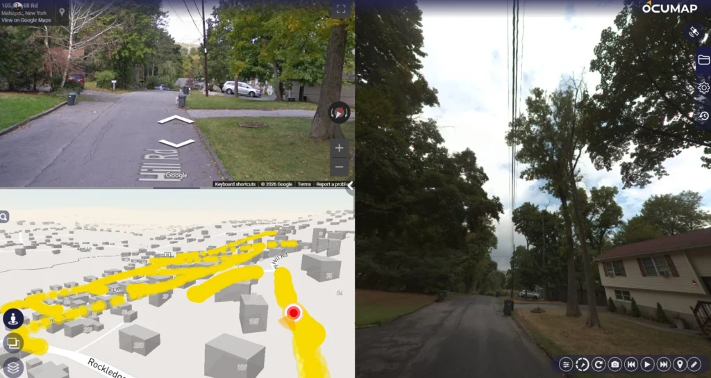
The workflow combined field imagery with location data and a review environment that allowed visible assets to be tagged and organized before GIS use.

Route Planning

Capture routes and access methods were selected for road and off-road segments.

Mobile & ATV Capture

Imagery was collected across the service territory using the appropriate platform.

RTK Positioning

Location information was used to support mapped review and asset placement.

Cloud Review & GIS Export

Assets were tagged in the review environment and prepared for GIS workflows.

Project Outputs

Deliverables Provided

The deliverables below reflect the archived project information and should be matched with project-specific images before publication.

Georeferenced Street-Level Imagery

Visual documentation tied to route and location.

Off-Road Utility Imagery

Coverage for assets beyond conventional road access.

Mapped Asset Tags

Visible poles and distribution features organized for review.

GIS-Ready Data

Structured outputs prepared for downstream asset systems.

Cloud Review Access

A shared environment for distributed stakeholder review.

Program Progress Records

A repeatable visual baseline for ongoing network documentation.

Project Outcome

A Scalable Visual Record for Utility Asset Management

The program created a repeatable method for reviewing distributed utility assets using mapped imagery and location-aware tagging. The approach supported faster access to field context and reduced dependence on isolated site visits for basic visual verification.

  • Approx. 30,000 circuit-mile program
  • Road and off-road capture methods
  • Cloud-based asset review
  • GIS-oriented outputs

Visual Documentation

Project Media

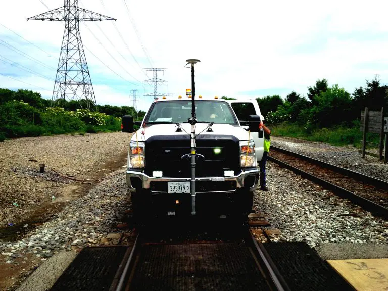
Mobile Mapping Vehicle for utility documentation- Reality IMT

Field Documentation

Street level imagery with dual antenna RTK GPS

Street Level Imagery collected for documenting location of utility poles and GIS

Processed Project Data

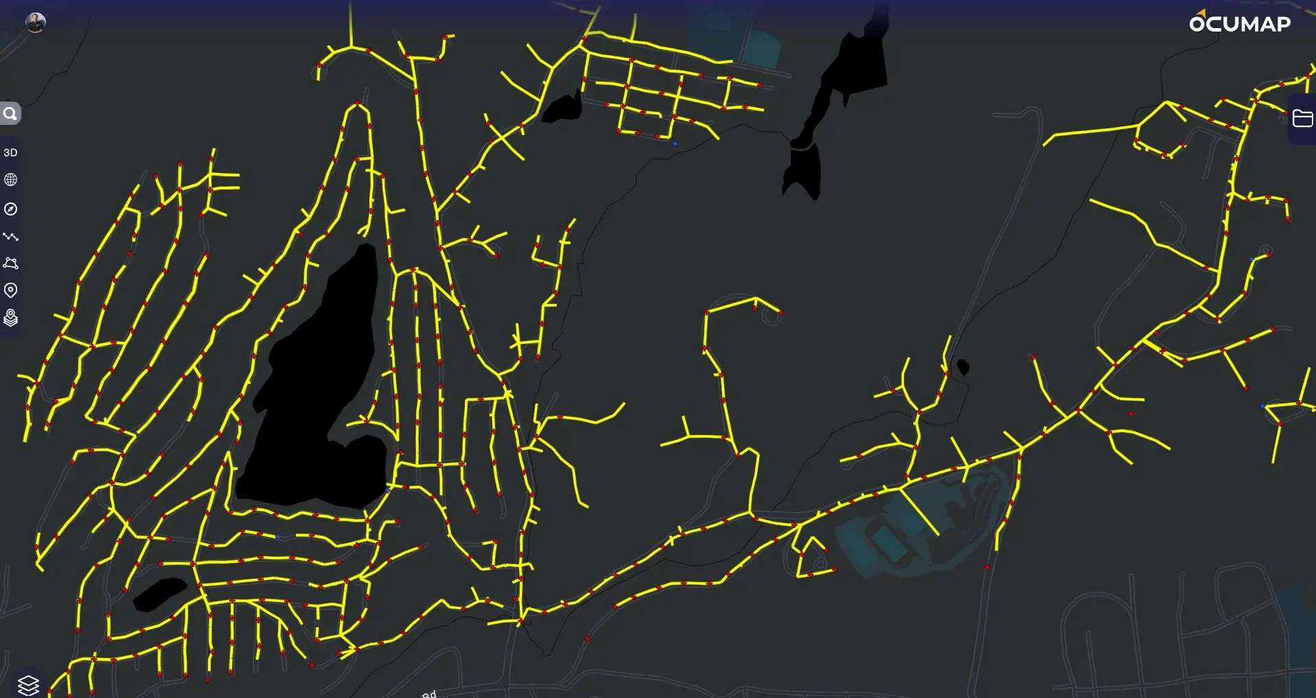
Visual documentation of the entire network with location analysis in GIS

Low voltage network documentation- Steet level imagery and GIS

Final Deliverable

GIS verified database with embedded imagery of all above ground assets related to the low voltage utility network

More Relevant Work

Related Projects

Infrastructure inspection - GPS video-aerial video mapping project-Reality IMT

8 Jul 2018

Approximately 100 Miles of Drainage Corridors Documented with Georeferenced Video

Reality IMT supported a municipal drainage-inspection effort covering approximately 100 miles of off-road ditches and…

CONTINUE READING
rail right of way mapping with LIDAR and 360 cameras

22 Apr 2020

40-Mile Commuter-Rail Corridor Documented with LiDAR and 360 Imagery

Reality IMT supported a commuter-rail documentation program covering approximately 40 miles of active right-of-way. The…

CONTINUE READING
360 video mapping for railroads. GPS based imagery for PTC signal documentation

9 Mar 2017

Rail Right-of-Way Imaging for Fiber and PTC Planning

Reality IMT supported a rail-construction team planning fiber-optic installation and Positive Train Control work across…

CONTINUE READING

Need Similar Documentation?

Send us the location, approximate size, available information, and required deliverables.