Nationwide Service | Houston Headquarters
Industrial & Manufacturing · 3D Laser Scanning · Digital Twin

Drilling Rig 3D Laser Scan

Reality IMT delivered 3D laser scanning and intelligent CAD modeling for a directional drilling rig off the Gulf of Mexico, creating a digital twin accurate to ±2mm for engineering, logistics, and real-time IoT monitoring.

Asset
Directional Drilling Rig
Location
Gulf of Mexico
Service
3D Laser Scanning + CAD Modeling
Accuracy
±2mm

Project Overview

Project Summary

When digitizing a drilling rig with 3D laser scan, a point cloud (or point cloud) is generated as the result of millions of measurements. The sample above shows a directional drilling rig off the Gulf of Mexico taken with a 3D laser scanner with only 3 scan stations (model is only a sample and does not represent the entire rig that was scanned). The point cloud replicates the entire rig in 3D and is accurate up to + or – 2mm. The entire topside of the drilling rig can be visualized in a web-based viewer for fast decision making on logistics, engineering and maintenance.

Client Need

Project Challenge

Offshore drilling rigs require precise digital documentation to support engineering modifications, logistics planning, and maintenance operations. Traditional manual measurement is impractical on active rigs, and outdated blueprints do not reflect current as-built conditions. The operator needed a fast, accurate method to capture the entire topside facility and transform that data into usable engineering models–including intelligent models capable of integrating real-time IoT sensor data.

Remote Offshore Location

The directional drilling rig was located off the Gulf of Mexico, requiring efficient capture with minimal scan stations to reduce offshore time.

Engineering-Grade Accuracy

The point cloud needed to be accurate to ±2mm to support engineering modifications, logistics planning, and maintenance.

Intelligent Digital Twin

The client required an intelligent 3D CAD model capable of integrating real-time IoT data for operational monitoring and decision-making.

Project Details

Project Type
Location
Project Purpose
Client

Reality IMT’s Approach

From Point Cloud to Intelligent Digital Twin

Reality IMT captured the entire drilling rig with just 3 scan stations, then progressed from raw point cloud data to primitive CAD models and finally to an intelligent digital twin capable of real-time IoT integration.

3D Laser Scan Capture

The entire topside of the drilling rig was captured with a 3D laser scanner using only 3 scan stations, generating a point cloud from millions of measurements accurate to ±2mm.

Point Cloud Processing

Point cloud data represents the first step after connecting all the measurements into a single cohesive environment, replicating the entire rig in 3D.

Primitive 3D CAD Model

3D CAD model was generated from the point cloud to serve as the most up-to-date blueprint of the rig. The 3D CAD can also serve as a digital twin where IOT devices can send real-time data to a web-viewer.

Intelligent 3D CAD Model

An Intelligent 3D CAD Model was developed with engineering specifications embedded in it, including piping specifications, general arrangement drawings, and plot plans.

Project Outputs

Deliverables Provided

The deliverables below reflect the archived project information and should be matched with project-specific images before publication.

High-Accuracy Point Cloud

Point cloud generated from millions of measurements, accurate to ±2mm, replicating the entire rig in 3D.

Primitive 3D CAD Model

3D CAD model generated from the point cloud serving as the most up-to-date blueprint of the rig.

Intelligent 3D CAD Model

Model with embedded engineering specifications including piping specs, general arrangement drawings, and plot plans.

Digital Twin Platform

Web-based viewer enabling IoT devices to send real-time data to the 3D CAD model for operational monitoring.

Web-Based Visualization

The entire topside of the drilling rig visualized in a web-based viewer for fast decision making on logistics, engineering and maintenance.

Engineering Documentation

General arrangement drawings and plot plans derived from the intelligent model for engineering coordination.

Project Outcome

A Digital Twin for Real-Time Offshore Operations

Reality IMT delivered a complete digital representation of the directional drilling rig–from high-accuracy point cloud to intelligent CAD model–enabling the operator to visualize the entire topside in a web-based viewer. The intelligent model now supports real-time IoT monitoring, allowing engineers to see live pressure data inside pumps and other critical equipment directly within the 3D geometric model, transforming maintenance and logistics decision-making.

  • Complete rig captured with only 3 scan stations to ±2mm accuracy
  • Web-based viewer enabling fast logistics and engineering decisions
  • Intelligent CAD model with embedded engineering specifications
  • Digital twin platform ready for real-time IoT data integration

More Relevant Work

Related Projects

Austin industrial scanning services- reality imt

4 Jul 2026

Industrial 3D Laser Scanning Austin | Mechanical Systems Case Study

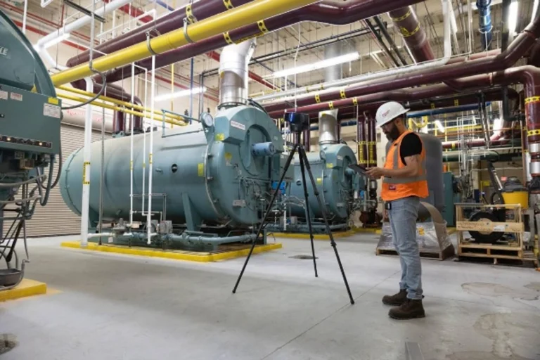
Reality IMT performed targeted, high-resolution 3D laser scanning of critical mechanical infrastructure at an active…

CONTINUE READING
Hopper Volumetric Survey 3D laser scanning simulation

21 Aug 2019

Hopper Volumetric Survey

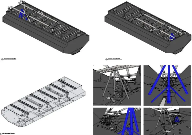
Performing a hopper volumetric survey to understand it’s capacity is not only crucial for project…

CONTINUE READING

Need 3D Laser Scanning for Your Industrial Asset?

Whether offshore or onshore, Reality IMT delivers high-accuracy 3D laser scanning and intelligent modeling for industrial facilities, rigs, and manufacturing assets. Send us the location, approximate size, available information, and required deliverables.