Nationwide Service | Houston Headquarters

Industrial & Manufacturing · 3D Laser Scanning · Houston, Texas

Industrial As-Built Survey for an Operating Marine Terminal

Reality IMT used high-density 3D laser scanning to document above-ground piping, structural steel, equipment, dock elements, and seabed elevations at an active Houston marine terminal.

Facility Type
Operating Marine Terminal
Primary Service
Industrial 3D Laser Scanning
Project Schedule
10-Day Field-to-Delivery Window
Primary Outputs
3D As-Built DWG & PDF Documentation

Project Overview

Project Summary

Reality IMT completed an industrial as-built survey of an operating ship dock and oil-products terminal in Houston, Texas. The project required field verification of complex process and structural conditions, including above-ground piping, pumps, dock structures, seabed elevations, and surrounding industrial features.

The client needed engineering-ready documentation rather than a limited collection of isolated field measurements. Reality IMT used high-density 3D laser scanning to capture millions of measurable points throughout the project area and create a coordinated digital record of the visible existing conditions.

The final information was converted into three-dimensional as-built documentation for engineering review, maintenance planning, future modifications, and facility reference. The work was completed within a compressed ten-day schedule from field capture through final delivery.

Industrial Survey 3D CAD, Laser Scanning to 3D

Client Need

Why the Existing Conditions Required a Detailed Digital Survey

Industrial marine terminals evolve continuously. Equipment is replaced, piping is rerouted, structural elements are modified, and field changes may not be reflected in legacy drawings. Before future design or maintenance work could proceed, the client needed a reliable record of the facility’s current visible conditions.

Active Marine Operations

The documentation effort had to be coordinated around an operating ship dock and active oil-products terminal.

Congested Industrial Geometry

Piping, pumps, structural steel, dock elements, and utilities created dense overlapping conditions and potential scan occlusions.

Engineering-Ready Accuracy

The client required usable as-built documentation for future technical work rather than visual reference alone.

Project Details

Project Type
Location
Project Purpose
Client
Schedule

Reality IMT’s Approach

Industrial Capture and As-Built Production Workflow

Reality IMT structured the project to move quickly from field capture into point-cloud processing, technical review, and CAD production.

Planning and Access Coordination

The team reviewed access, safety, operating constraints, required systems, and deliverable priorities before mobilization.

High-Density Field Capture

Multiple scan positions were used to capture dense industrial geometry and reduce line-of-sight gaps.

Registration and QA/QC

Individual scans were registered, organized, and checked for alignment, coverage, and production readiness.

3D CAD Production

The verified point cloud was translated into engineering-ready as-built DWG and PDF documentation.

Scope of Documentation

Industrial Systems and Site Features Captured

The scan plan was developed to document the visible process, structural, marine, and equipment conditions required for the client’s engineering use.

Above-Ground Piping

Visible pipe routing, connections, and surrounding spatial relationships.

Pumps and Equipment

Existing equipment locations and relationships to adjacent systems and access areas.

Structural Steel

Dock framing, supports, platforms, and other visible structural components.

Dock Structures

Existing ship-dock geometry and associated marine-terminal features.

Seabed Elevations

Elevation information incorporated where required by the project scope.

Access and Process Areas

Platforms, walkways, clearances, and visible areas supporting operations and maintenance.

Project Outputs

Deliverables Provided

The completed package gave the engineering team both measurable source data and usable as-built documentation.

Registered Point Cloud

A coordinated three-dimensional record of the visible existing conditions.

Industrial CAD Drawings

Engineering-ready DWG files created from the verified scan data.

3D As-Built Documentation

Three-dimensional documentation showing the relationships between piping, structure, equipment, and dock elements.

PDF Drawing Package

Portable technical documentation for review, coordination, and project records.

Existing-Condition Reference

A reusable baseline for maintenance, future modifications, and engineering review.

Remote Review Capability

A digital record that reduced dependence on repeated site visits for basic dimensional verification.

Project Outcome

A Reusable Engineering Record for Future Terminal Work

The completed industrial as-built survey gave the client a coordinated record of the facility’s visible current conditions. Engineers could review the relationship between piping, pumps, dock structures, structural steel, and surrounding features without relying solely on selective field measurements or incomplete legacy drawings.

The resulting point cloud and CAD documentation created a reusable foundation for maintenance planning, future modifications, equipment replacement, and facility management.

  • Operating marine-terminal conditions documented
  • Millions of measurable spatial points captured
  • Engineering-ready DWG and PDF documentation delivered
  • Reduced need for repeated dimensional field visits
  • Reusable baseline created for future projects

Visual Documentation

Project Media

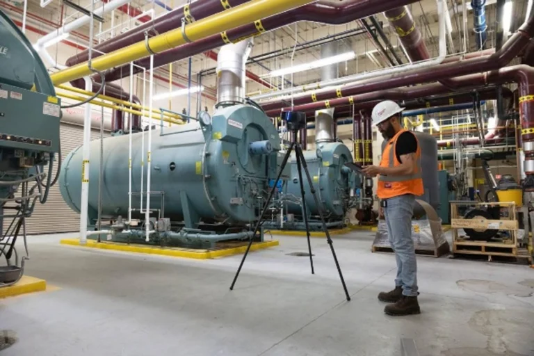
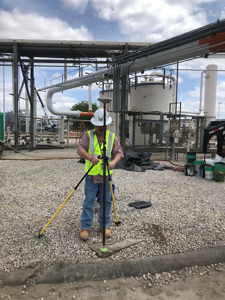
Survey control for 3d laser scanning industrial facilities

Marine-Terminal Field Conditions

Use a field image showing the dock, piping, equipment, or scanning environment.

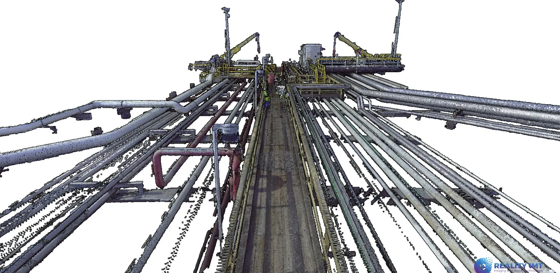
Pointcloud scanning for industrial marine ship dock

Registered Industrial Point Cloud

Show the measurable scan data and dense relationships among piping, structure, and equipment.

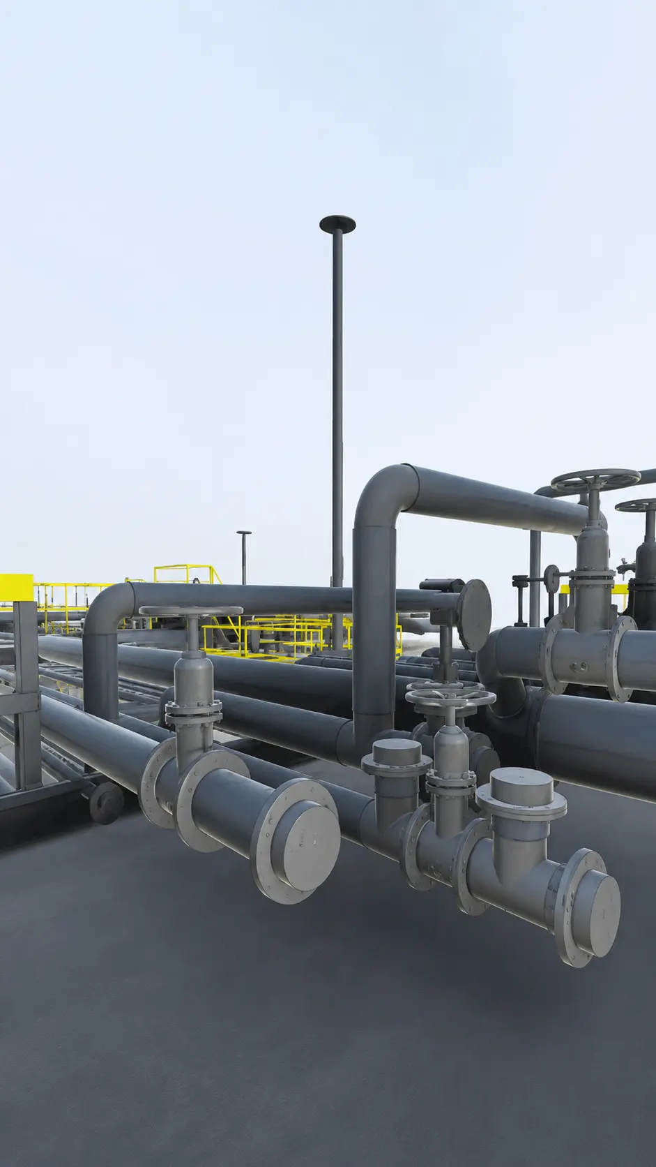
Oil and Gas 3D Laser Scanning Services-Texas Louisiana

Engineering-Ready As-Built Deliverable

Use the strongest 3D CAD view from the final drawing package.

More Relevant Work

Related Projects

Austin industrial scanning services- reality imt

4 Jul 2026

Industrial 3D Laser Scanning Austin | Mechanical Systems Case Study

Reality IMT performed targeted, high-resolution 3D laser scanning of critical mechanical infrastructure at an active…

CONTINUE READING
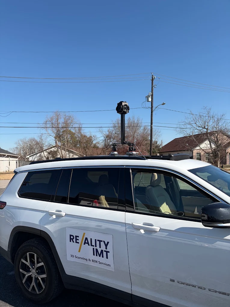
Street survey to document exisiting above ground assets using mobile lidar and 360 degree gps camera- Reality imt

10 Mar 2026

Mobile LiDAR Corridor Survey with Engineering-Ready Civil 3D Deliverables

Reality IMT completed a 1.4-mile mobile LiDAR corridor survey covering 19 signalized intersections and delivered…

CONTINUE READING

Need an Industrial Facility Documented for Engineering or Maintenance?

Send us the facility location, systems to capture, access and safety requirements, existing records, and required deliverables.