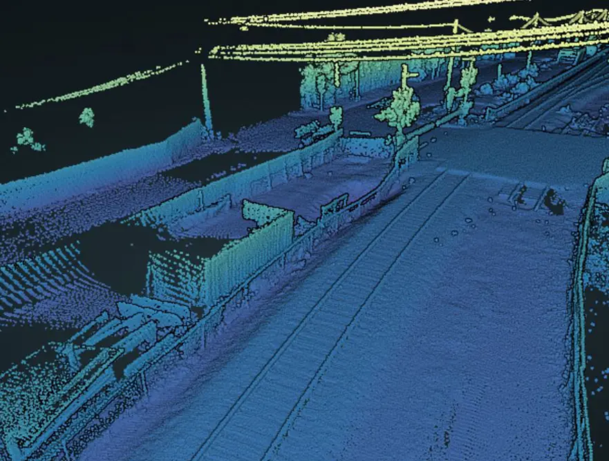
Lidar Rail Survey Vehicle Based LiDAR Rail Survey& 360 goevideo Photogrammetry has proven to be a fast and effective way to visually document linear assets and […]
Portfolio Category: Rail
Sample railroad mapping projects delivered by Reality IMT Nationwide. Hi-rail mounted LiDAR and GPS-based panoramic cameras can map hundreds of miles of corridors per day.
