Railroad Mapping FAQs
While there are different methods and technologies used in Railroad mapping, this page will focus on answering questions related to geospatial data collection from the ground level or the track level. If you have more questions you would like us to answer, please send them to info@realityimt.com and we would be happy to answer them.
Q: What is Railroad Mapping?

A: Railroad Mapping is a method of collecting Geospatial Data within the Corridor of a Rail Road.
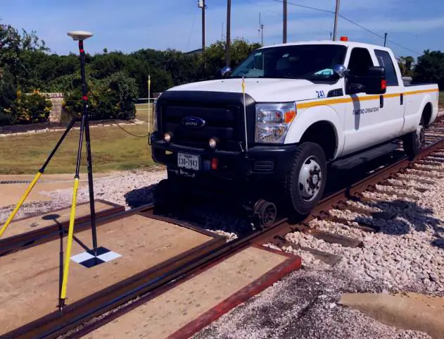
A typical way of mapping railways is to use vehicle-based LiDAR with GPS/GNS to collect geo-referenced measurements of surfaces and above ground features within the Right of Way (ROW). When the LiDAR is combined with GPS and Inertial Navigation System (INS) data, a precise dimension, shape and location on Earth is generated in 3D.
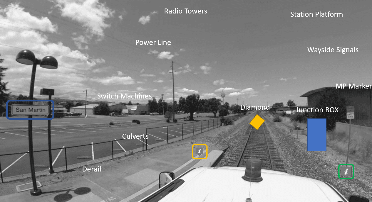
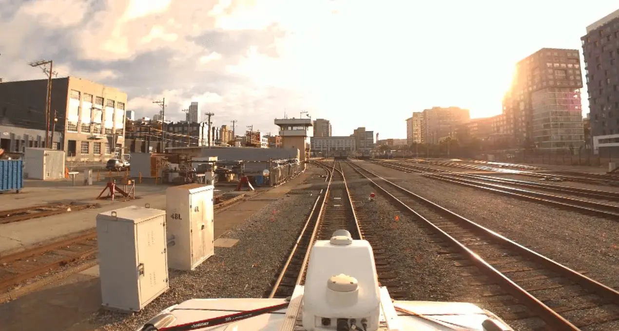
Another method commonly used in railroad mapping involves mounting a spherical or 360 degree camera on the rooftop of hi-rail. This camera is tethered to a GPS receiver and an IMU where all of the collected imagery or videos can be geotagged then viewed in a web-based software.
Q: What are the benefits of Railroad Mapping?

A: The benefits of mobile Mapping a Railroad Network include:
- Locate and identify above ground and underground assets
- Update existing asset inventories for maintenance and operations
- Regulatory compliance with FRA
- Provide rapid documentation and condition assessment of existing conditions
- Measure clearances, plan maintenance and have a blueprint of your rail network
Q: What is Railroad Surface Imaging?

A: Railroad surface imaging a method of collecting geospatial data above ground
Surface imaging involves collection spatially accurate imagery or videos from the street level. Sometimes also referred to as photogrammetry. The purpose of surface imaging is to help the maintenance and engineering team get an accurate depiction of site conditions. It compliments existing track charts and maps with high resolution 360 degree (panoramic) imagery with GPS. The imagery can be viewed on the map based on it’s GPS data.
Q: What is the data type produced by Railway Mapping Technology?
A: Pointcloud, X,Y,Z, gdb, DWG, DGN, XLS
The most common data format that can be produced by railway mapping technology include pointcloud data (LAS, LAZ, XYZ), GIS data in (gdb.shp, kml/kmz), GPS based Imagery, GPS based videos, Modeled data in DWG or DGN.