Infrastructure Data Collection, Processing, and Visualization

Storm Water Geospatial Data Collection
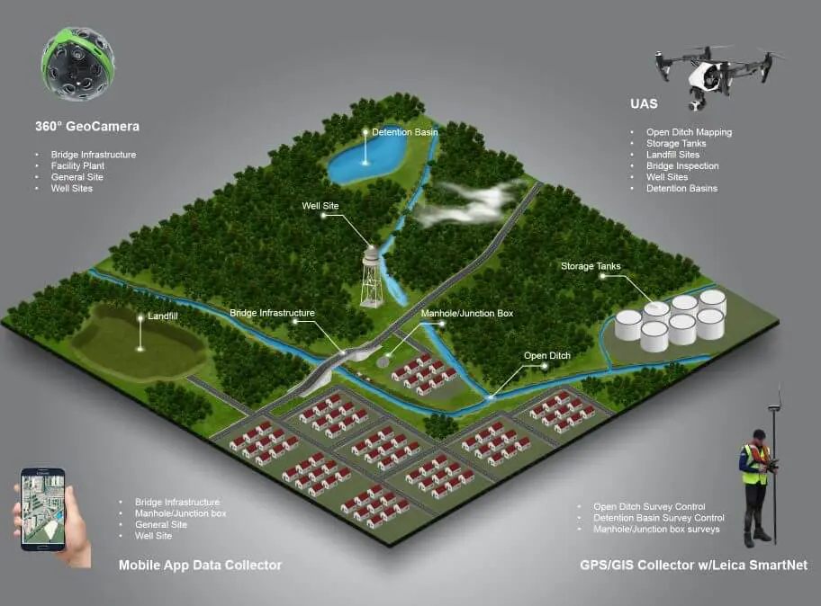
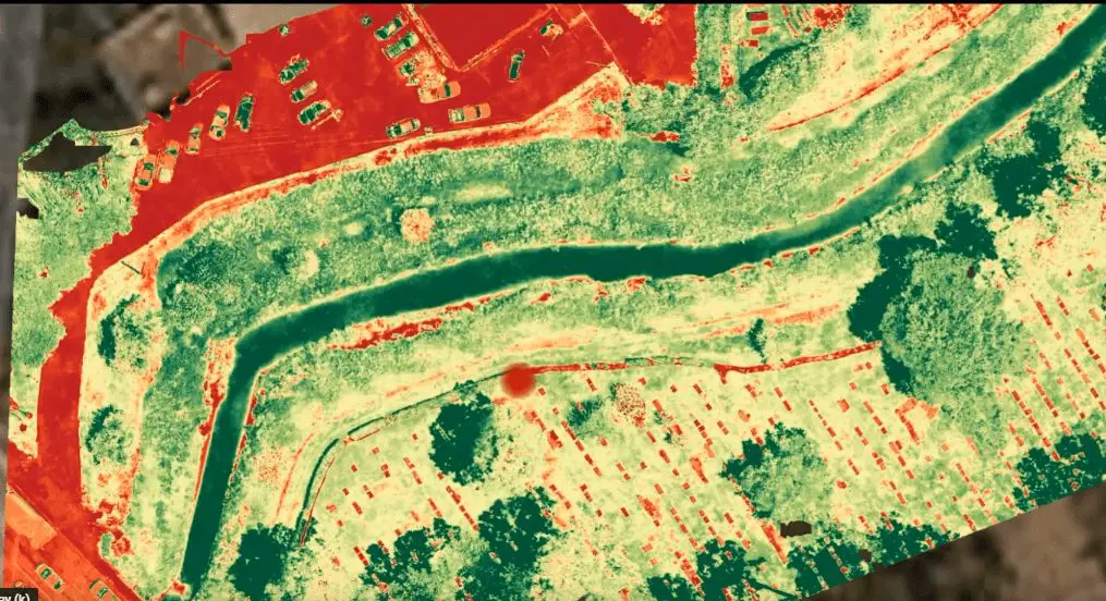
Do you need up-to-date information on your storm-water network? Our field engineers are experts in geospatial data collection of stormwater systems, including man made streams and natural streams, near road and off-road drainage systems, as well as detention basins. We provide you with quick, accurate, and cost-effective geospatial data using the local coordinate system. All of the data collected by Reality IMT includes GPS imagery by default to help visualize field conditions. A few of the tools we use to collect this data include GPS/GIS Collectors, UAS (Drone/UAV), and LiDAR.
The stormwater geospatial data can be evaluated based on the client’s condition assessment rating system where defects can be easily located in near-real time using our proprietary web-based viewer. Data is delivered by our company in Geographic Information System (GIS) gdb or shp files. Geotiff, DTM, DSM, DXF, Web-based imagery with maps, etc.
Waste Water Geospatial Data Collection

Do you know where your manholes and junction boxes are located?
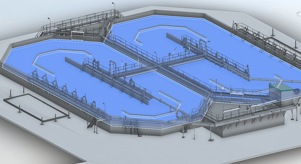
Reality IMT can help you locate manholes, junction boxes, aerial pipes, and other sites related to storm wastewater using an up to date technology tools from our company such as Geographic Information System (GIS)/GPS collectors with RTK signal, GPS-based imagery, GPS-based videos, and some instances LiDAR. Geotagged data typically includes x,y,z values to help study any depressions surrounding manholes or junction boxes. The data we collect helps make a rapid condition assessment of your wastewater features as we bring the site information in 3D CAD of Geographic Information System (GIS) to offices nationwide.
Drinking Water Geospatial Data Collection

Well Sites, Storage Tanks & Chemical Tanks Assessment
Reality IMT can help you with geospatial data collection for your well sites, and storage tanks with high speed and high accuracy. Detailed geospatial information will enable your team to make better condition assessments and ensure that preventive maintenance is done at the right time. We handle large sets of 3D geospatial data using UID, x,y,z (Local Coordinate System) and deliver lightweight files to help you digest the data using your software tools.
Bridge Geospatial Data Collection

Above Bridge and Below Bridge Condition Assessment
Using standardized condition rating systems, we collect data from below bridges and above bridges. Our data includes 3D geometry, location on earth, and high-resolution imagery that can be used for visual inspections. Defects can be located using advanced geospatial analysis tools that locate and quantify the defect. The typical deliverables are ArcGIS geodatabase, 3D CAD, GPS imagery, and GPS videos.