Our Capabilities
- Architectural Floorplan measurements
- Ceiling Height measurements
- Structural support members (Beams, Trusses, Columns)
- Exterior Elevations measurements
- Door and Window schedule
- Attached decks and balconies measurements
- Roof slopes, drains and general layout measurements
- Eaves, Valleys, Hips and Ridges
- Floor flatness and elevation analysis
- MEP measurement
- Electrical Panels and meters documentation
- Light fixtures layout
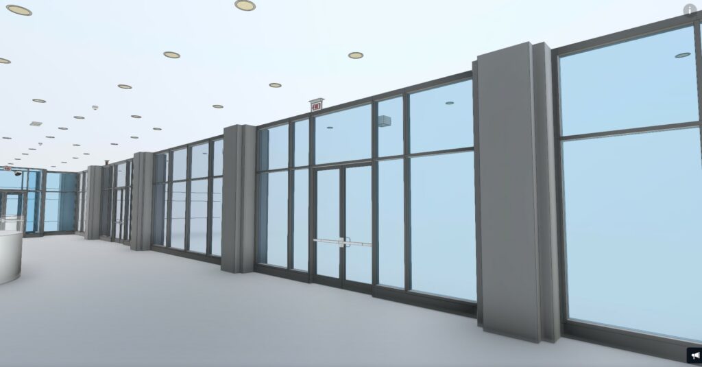
- Panoramic Imagery & Virtual Tours
- Photo Key
Our Experience
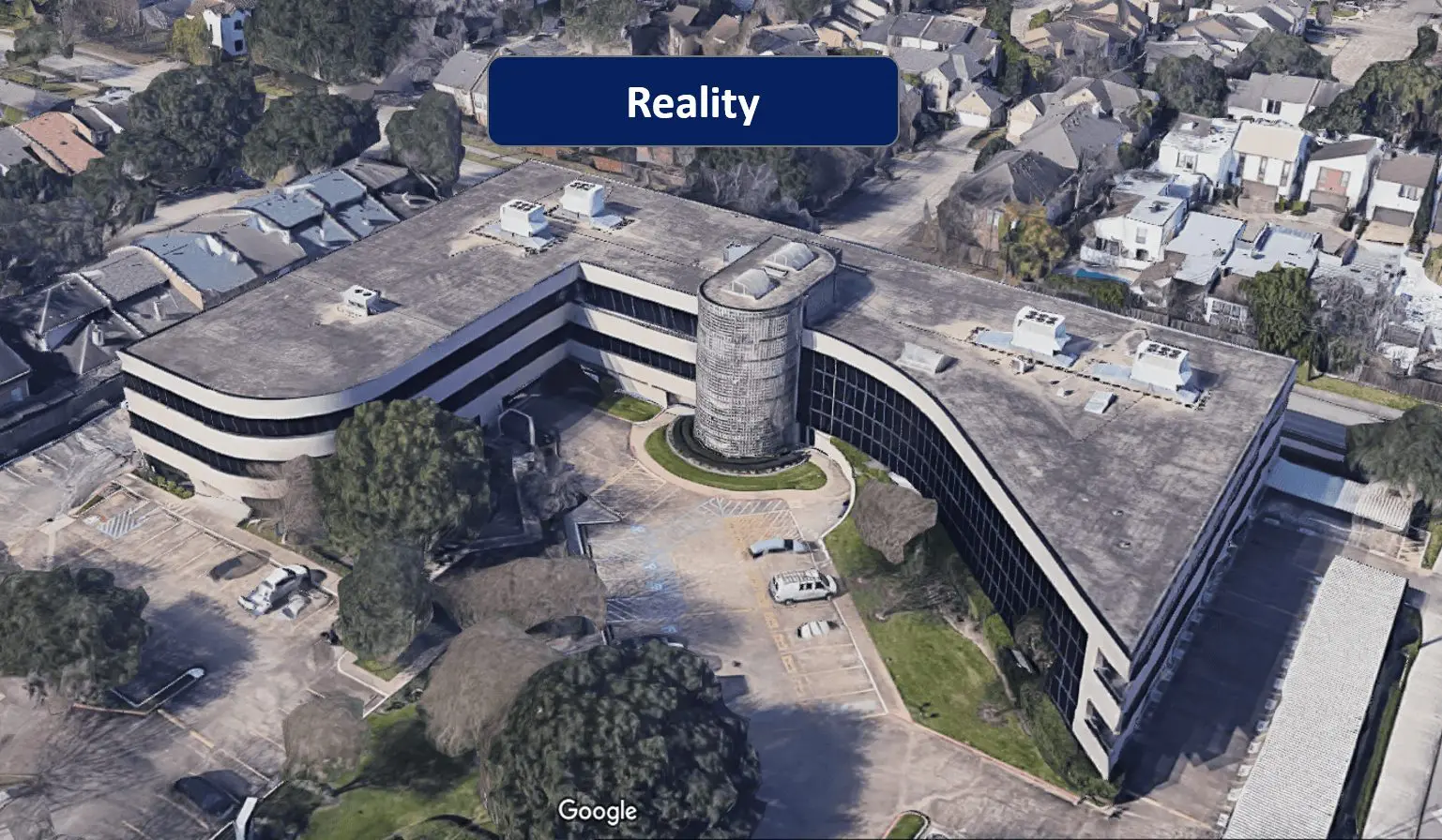
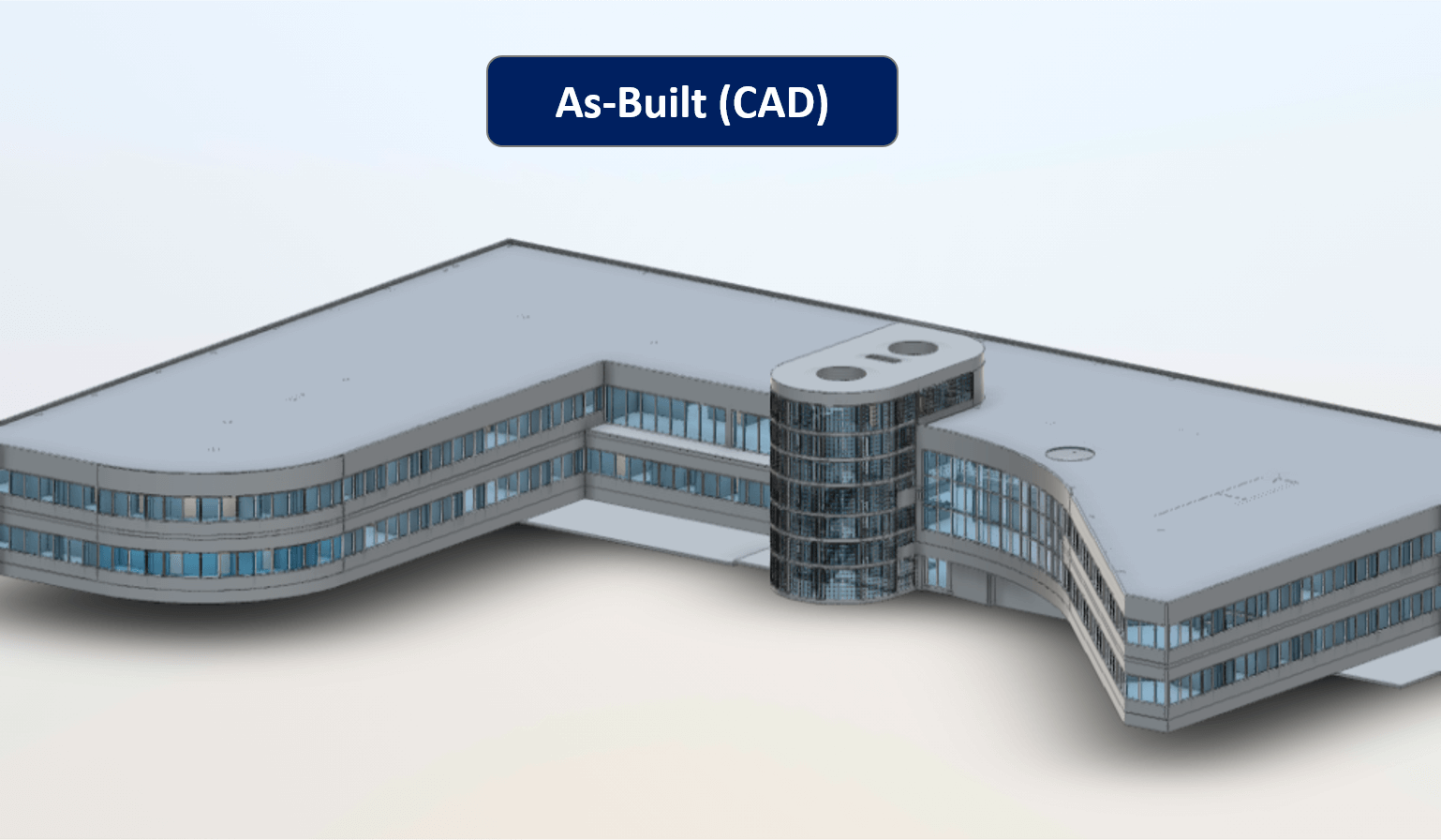
Reality IMT’s Architectural As-Built division has been supporting commercial and residential Architects around the nation in delivering quality As-Built documentation, As-Built BIM, Floor Flatness and Settlement Analysis. We apply the latest technology tools to measure existing buildings and generate highly accurate 3D models in Revit, ArchiCAD and AutoCAD. Our clients are able to reduce time spent on the project by 40% and reduce cost by 25% when compared to conventional methods.
With a 95% client retention rate, you can rely on us to deliver precise as-builts on time, within budget. Let’s save you the hassle of building measurements, reduce your cost, and improve your quality. Reach out to us to learn more.
Software


This will be general information about the project including address, building size, occupancy status, etc.
What are we expected to deliver? The answer to this questions helps us draft the SOW. For example, are we delivering a Pointcloud file, Revit, ArchiCAD, or DWG files of the existing building? Are we documenting Furniture, Fixtures & Equipment (FF&E), or only Architectural As-Built.
Are there any specific safety concerns about site access? Understanding your schedule constraints will help us assign and manage resources in order to meet your deadline. We are committed to maintaining a safe and healthy environment for our employees, contractors and clients. Any safety concerns will be addressed during this stage.
Information from steps 1-3 above are used to generate a proposal and coordinte schedule, site visit, and data collection.
During this step, we perform a quality check on the data gathered in the field and ensure that measurements are accurate. We are also able to quantify how accurate the data is at this stage. A data registration report could be provided to the client upon request.
The collected data is imported into the appropriate software and vector files are generated.
Generated CAD model is overlaid on top of the pointcloud data and any shifts/anomalies are identified, quantified and repaired. Uncertain measurements are called out on the drawings to help you make the final judgement.