Urban development is an ever-evolving process, and the effective planning and management of cities have become essential for a sustainable future. Geographic Information Systems (GIS) services have emerged as a critical tool in optimizing city planning. You can explore the advantages and challenges of GIS implementation, shedding light on how GIS services near you can transform the landscape of urban development.
Unpacking the Role of GIS Services in City Planning
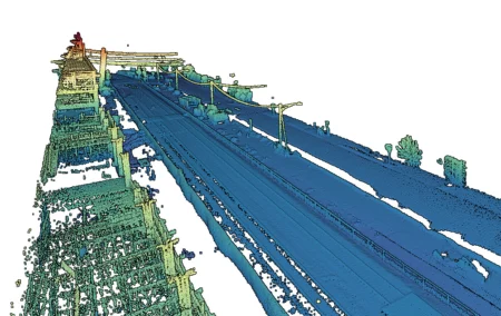
GIS is a technology that combines geographical data with sophisticated mapping capabilities to provide valuable insights for decision-makers in various domains, including urban planning. It empowers city planners with a wealth of spatial information that can be used to make informed decisions regarding land use, infrastructure development, and resource allocation.
Advantages of GIS Implementation in City Planning
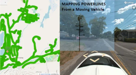
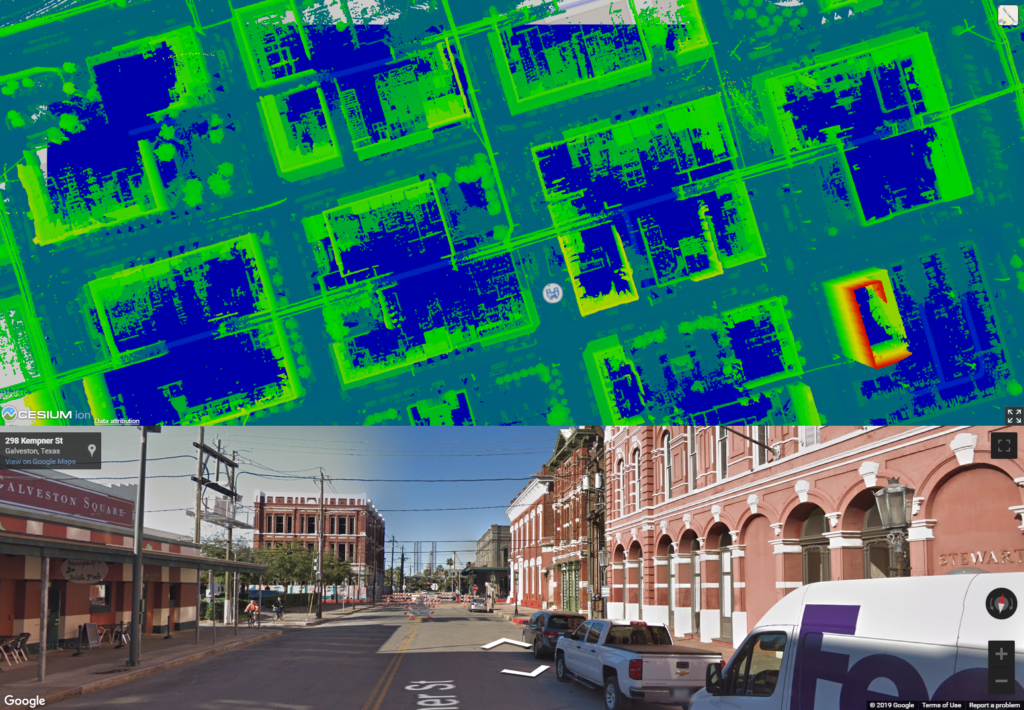
Data Integration: GIS services enable the integration of data from multiple sources, such as satellite imagery, population statistics, and infrastructure data. This comprehensive view of urban areas assists in identifying trends, patterns, and potential challenges.
Enhanced Visualization: GIS tools create visual representations of data, making complex information more understandable. City planners can use maps and charts to communicate their plans effectively to stakeholders and the public.
Improved Decision-Making: Access to spatial data facilitates evidence-based decision-making. Planners can analyze data to determine the best locations for new infrastructure, assess the impact of development projects, and optimize resource allocation.
Efficient Resource Management: GIS services help optimize the use of resources such as water, energy, and transportation. By identifying inefficiencies and areas for improvement, cities can become more sustainable and cost-effective.
Emergency Response: GIS plays a crucial role in emergency management. City planners can use GIS to map vulnerable areas, plan evacuation routes, and respond effectively to natural disasters or other crises.

Challenges in GIS Implementation for City Planning
Data Quality: GIS relies heavily on the quality of data. Inaccurate or outdated information can lead to erroneous decisions. Maintaining and updating data sources is an ongoing challenge.
Cost: Implementing and maintaining GIS systems can be costly, particularly for smaller municipalities. However, the long-term benefits often outweigh the initial investment.
Technical Expertise: Effective use of GIS requires skilled professionals who can handle the software and interpret the data. Training and retaining qualified staff can be a challenge.
Privacy and Security: Handling sensitive geographical data requires robust security measures to protect against breaches and unauthorized access.
The GIS Service Advantage Near You
Imagine a scenario where your city is planning a new public transportation system. GIS services near you provide access to precise data on current traffic patterns, population density, and potential station locations. This information empowers planners to design an efficient and effective transportation network that meets the needs of the community.
In the ever-evolving landscape of urban development, GIS implementation has become a game-changer. The advantages of data integration, enhanced visualization, improved decision-making, resource management, and emergency response are reshaping how cities plan for the future. While challenges exist, the benefits of GIS services near you can help create more sustainable, resilient, and livable cities, setting the stage for a brighter urban future.
For expert GIS services that elevate your city planning efforts, take a look at our street level mapping services. Our GIS expertise empowers cities to harness the power of spatial data for a more efficient and sustainable tomorrow.