Unlocking Precision and Insight: LiDAR Analytics and Geospatial Mapping from Reality IMT
Harnessing the power of LiDAR (Light Detection and Ranging) analytics and geospatial mapping has become essential for industries spanning from construction and infrastructure development to environmental conservation. Reality IMT leads the charge in providing cutting-edge LiDAR solutions, transforming data into valuable insights.
The Essence of LiDAR Analytics and Geospatial Mapping
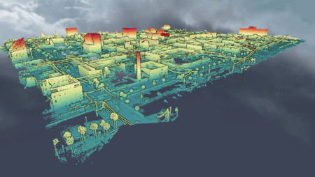
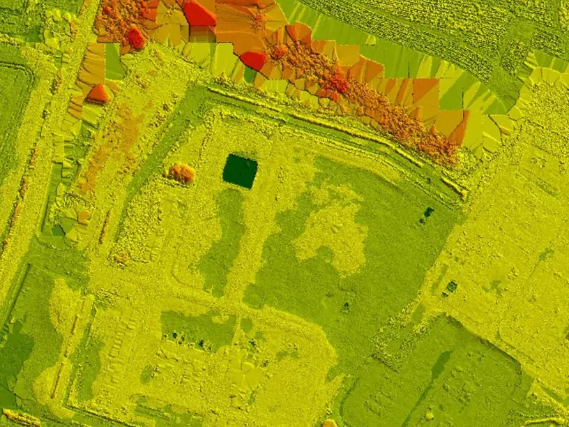
LiDAR technology employs laser beams to measure distances and create highly detailed 3D representations of objects, terrain, and environments. By coupling LiDAR with geospatial mapping, Reality IMT offers a comprehensive solution that revolutionizes data collection and analysis across various sectors.
- Key Benefits of Reality IMT’s LiDAR Analytics and Geospatial Mapping Services
- Unmatched Precision: LiDAR analytics provide unparalleled accuracy in data capture. It allows professionals to acquire precise measurements and identify even subtle changes in terrain or structures.
- Efficiency in Data Collection: Traditional data collection methods can be labor-intensive and time-consuming. LiDAR technology expedites data gathering, reducing on-site durations and associated costs.
- Comprehensive Insights: Geospatial mapping of LiDAR data enables professionals to analyze complex terrains, track environmental changes, and optimize infrastructure designs with a holistic understanding of the area in question.
- Environmental Monitoring: LiDAR analytics are invaluable for conservation efforts. They facilitate the monitoring of vegetation, wildlife, and land use changes, aiding in sustainable management practices.
- Improved Decision-Making: By providing a detailed, data-rich representation of a location or object, LiDAR analytics empower decision-makers to make informed choices that lead to more efficient, cost-effective, and environmentally friendly solutions.
Real-World Applications
Imagine a scenario where an engineering firm is tasked with constructing a new highway through a hilly region. Reality IMT’s LiDAR analytics and geospatial mapping services can be employed to precisely map the terrain, allowing engineers to design road alignments that minimize environmental impact, reduce construction costs, and enhance safety.
The integration of LiDAR analytics and geospatial mapping from Reality IMT has transcended traditional data collection and analysis methods, offering precision and efficiency that were once unimaginable. With applications spanning from construction and infrastructure development to environmental conservation and beyond, the insights provided by this technology are reshaping industries and driving sustainable practices.
For advanced LiDAR analytics and geospatial mapping services that unlock precision and insight, visit Reality IMT. Our expertise in harnessing LiDAR technology ensures that you have the data-driven tools needed to excel in your projects and make informed decisions that shape a brighter future.