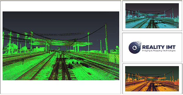
Revolutionizing Rail Infrastructure Management with Railroad LiDAR Mapping Services
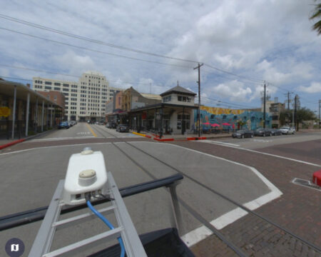
In the realm of rail infrastructure management, accuracy, efficiency, and safety are paramount. To meet these demands, advanced technologies have emerged as game-changers, with LiDAR (Light Detection and Ranging) mapping taking the lead. In this article, we will explore the transformative benefits of Railroad LiDAR Mapping services, focusing on its exceptional capabilities in delivering accurate 3D mapping and revolutionizing rail infrastructure management.
 Understanding LiDAR Technology
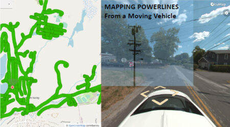
LiDAR technology harnesses laser pulses to measure distances and capture highly precise 3D data of the surroundings. This advanced mapping solution has become a game-changer in the rail industry due to its ability to generate detailed point clouds and high-resolution imagery.
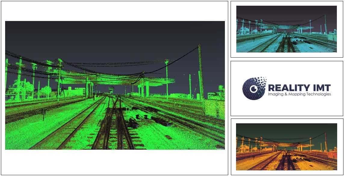
The Power of Railroad LiDAR Mapping
Railroad LiDAR mapping services offer a wide array of advantages, revolutionizing rail infrastructure management in the following ways:
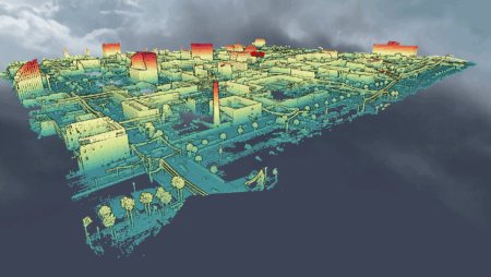
- Accurate 3D Mapping: LiDAR technology provides highly accurate 3D maps of rail corridors, including terrain, tracks, structures, and vegetation, facilitating comprehensive assessments and informed decision-making.
- Asset Management and Maintenance: Detailed LiDAR data assists in efficient asset management by identifying structures, bridges, tunnels, and other components that require maintenance, ensuring optimal performance and longevity.
- Clearance Analysis and Route Planning: Railroad LiDAR mapping aids in clearance analysis, ensuring compliance with safety standards and enabling precise route planning for oversized cargo transportation.
- Track Monitoring and Alignment: Continuous monitoring of track conditions, including rail alignments, wear, and degradation, enables proactive maintenance, reducing the risk of accidents and minimizing disruptions.
- Vegetation Management: LiDAR data helps in identifying encroachments caused by vegetation growth, allowing rail operators to plan targeted vegetation management strategies and enhance safety.
Integration with Advanced Technologies
Railroad LiDAR mapping services seamlessly integrate with other advanced technologies, such as Geographic Information Systems (GIS) and asset management systems, further enhancing rail infrastructure management capabilities. This integration facilitates data analysis, visualization, and decision-making, enabling efficient maintenance planning, cost optimization, and improved overall operations.
The Role of LiDAR 3D Mapping
LiDAR 3D mapping plays a pivotal role in rail infrastructure management, offering benefits such as:
- Data Accuracy: LiDAR technology captures precise data with exceptional detail, ensuring accurate representation of rail corridors and assets.
- Visualization and Analysis: 3D maps generated by LiDAR facilitate in-depth visualization and analysis, allowing stakeholders to assess the condition of assets, detect potential issues, and plan appropriate interventions.
- Enhanced Collaboration: LiDAR 3D mapping promotes collaboration among project stakeholders by providing a shared understanding of the rail infrastructure, fostering effective communication and informed decision-making.
Conclusion
Railroad LiDAR Mapping services, with their advanced capabilities in accurate 3D mapping and integration with other cutting-edge technologies, have revolutionized rail infrastructure management. By leveraging the power of LiDAR technology, rail operators and infrastructure managers can enhance safety, optimize maintenance schedules, and improve overall efficiency. To unlock the full potential of LiDAR services for railroad mapping, reach out to RealityIMT, a leading provider of comprehensive mobile LiDAR mapping solutions.