Lidar Rail Survey
Vehicle Based LiDAR Rail Survey& 360 goevideo Photogrammetry has proven to be a fast and effective way to visually document linear assets and corridors. The railroad industry has been benefiting tremendously from LiDAR surveys since the ability to access the tracks is limited due to continuous traffic flow. LiDAR rail survey can be done at travel speed without disrupting the track time. In addition, the amount of data collected, far exceeds what a conventional survey can produce.
Vehicle Based Lidar Rail Survey can capture all dimensions and geometry of above ground assets along the entire tracks right of way. Positional accuracy of these assets is good to up to 1/10th of a foot. Lidar rail survey shows the geometry of the tracks including vertical and horizontal curves, and the 360 degree geovideo shows a visual condition and position of assets within the right of way. Sample deliverables include but not limited to:
1-Tracks Geometry
2-Plan and Profile
3- Track Charts
4-Superelevation
5-Geodatabase of all assets along the tracks
Lidar Rail Surveys can help project owner reduce risks associated with derailment since it provides an accurate geometry of the tracks. Compared to a rail geometry car, the Lidar rail survey car can drive at speed limit, capture angular measurements 20 times per second, and visually reconstruct the entire terrain. These surveys can also serve as FRA regulatory compliance.
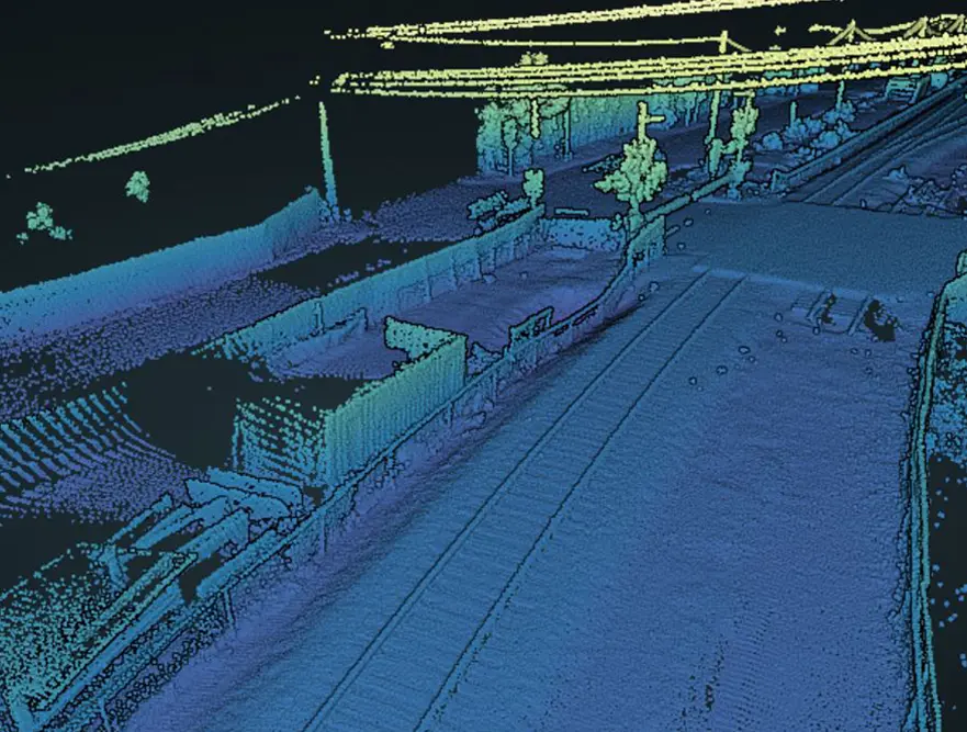
The team at Reality IMT has extensive experience in collecting, processing and generating accurate 3 dimensional as-builts for railroads. Using a unique single-head Lidar, precision GPS/IMU, omni-directional geovideo cameras, we can bring the entire tracks onto your desktop to help you make all the engineering decisions you need. Here is a sample pointcloud showing track geometry and above ground assets such as buildings, powerlines, and signals.


