Mobile LiDAR mapping has emerged as a game-changing technology, revolutionizing the way infrastructure projects are planned and implemented. At this stage, we delve into the world of LiDAR street mapping and survey services, exploring how these innovations drive optimal time and cost outcomes for diverse infrastructure endeavors.
Unveiling Mobile LiDAR Mapping: A Closer Look
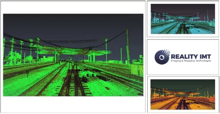
Mobile LiDAR mapping represents a monumental leap forward in the field of geospatial data collection. By utilizing Light Detection and Ranging (LiDAR) technology mounted on mobile platforms, such as vehicles, drones, or boats, this approach captures precise 3D measurements of the environment. The result is a comprehensive and accurate representation of the project area, enabling informed decision-making and efficient resource allocation.
Advantages of LiDAR Street Mapping and Survey Services
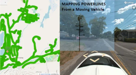
Swift Data Acquisition: Traditional survey methods can be time-consuming and labor-intensive. LiDAR street mapping expedites data collection by swiftly capturing vast amounts of information in a single pass, significantly reducing the overall survey time.
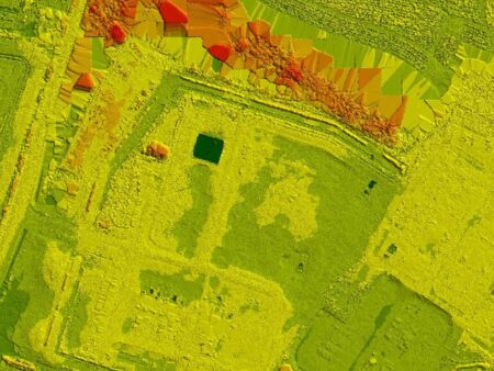
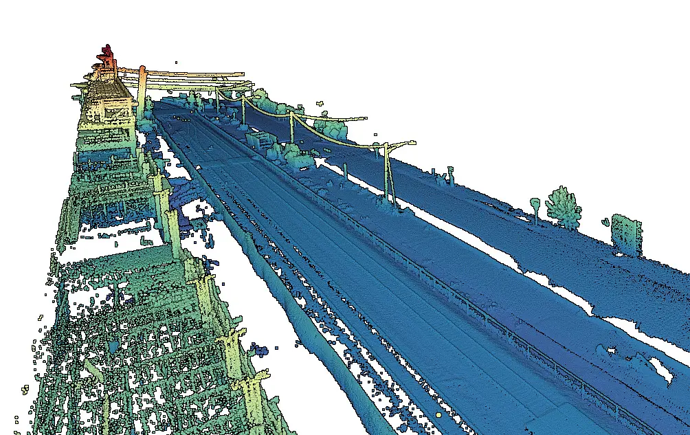
Comprehensive 3D Mapping: LiDAR survey services create detailed 3D models that include terrain features, buildings, vegetation, and other structures. This level of detail ensures a comprehensive understanding of the project site, minimizing the risk of unforeseen challenges during construction.
Enhanced Safety: Mobile LiDAR mapping minimizes the need for manual data collection in hazardous or hard-to-reach areas. This not only improves worker safety but also reduces project downtime due to safety concerns.
Optimized Resource Allocation: The accurate and detailed data captured through LiDAR surveys facilitates precise planning and resource allocation. This leads to more efficient use of materials, equipment, and manpower, contributing to cost savings.
Mobile LiDAR mapping and survey services have redefined the landscape of infrastructure projects by offering unparalleled time and cost optimization. Through swift data acquisition, comprehensive 3D mapping, enhanced safety, and optimized resource allocation, these technologies empower project stakeholders to make informed decisions that drive efficiency and success. As we look to the future, the integration of LiDAR technology is poised to continue shaping the infrastructure development domain, setting new standards for innovation and excellence.