Nationwide Service | Houston Headquarters
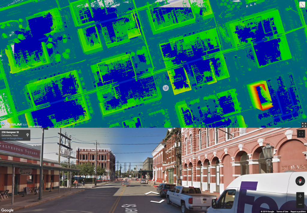
 January 25, 2024Urban development is an ever-evolving process, GIS is essential to planning and management of cities. Street Mapping helps locate.
 August 30, 2023Unlocking Precision and Insight: LiDAR Analytics and Geospatial Mapping from Reality IMT Harnessing the power of LiDAR (Light Detection and…
 August 24, 2023Mobile LiDAR mapping has emerged as a game-changing technology, revolutionizing the way infrastructure projects are planned and implemented. At this…
 August 10, 2023How video log and LiDAR are changing City planning City planning has always been a crucial aspect of urban development,…
 July 18, 2023Unlocking the Power of Street Level Mapping with LiDAR and 360 Camera: Revolutionizing Circuit Utility Documentation In today's fast-paced world,…
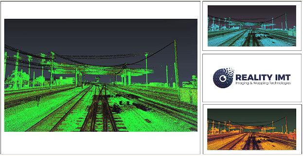
 July 18, 2023Revolutionizing Rail Infrastructure Management with Railroad LiDAR Mapping Services In the realm of rail infrastructure management, accuracy, efficiency, and safety…
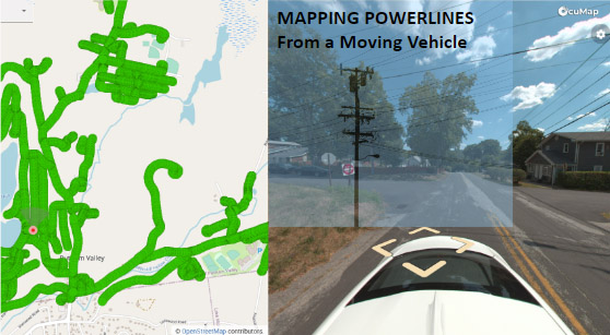
 January 19, 2023Electricity makes the world go round, and without it, our daily lives would look quite different from today’s reality. As…
- January 19, 2023The client is responsible for maintaining and modernizing an electric utility grid that spans across multiple geographic areas. In this…
 March 21, 2020Flooding causes more damage in the United States than any other weather-related event, and can occur in any of the…
 January 21, 2020In February 2020, the Mississippi reached flood levels that had not been seen in more than 35 years. In the…