Nationwide Service | Houston Headquarters

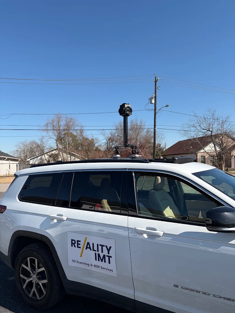
 March 10, 2026Reality IMT completed a 1.4-mile mobile LiDAR corridor survey covering 19 signalized intersections and delivered engineering-ready Civil 3D feature lines,…
 September 11, 2024Reality IMT supported a large utility asset-documentation program using mobile and ATV-based imagery, RTK positioning, cloud review, and GIS-oriented tagging…
 July 8, 2018Reality IMT supported a municipal drainage-inspection effort covering approximately 100 miles of off-road ditches and drainage corridors. UAV and street-level…
 March 9, 2017Reality IMT supported a rail-construction team planning fiber-optic installation and Positive Train Control work across a large commuter-rail network. Engineers…